Place Names / Local History · Early Middle Ages / Romanesque
Ortsgeschichte Binsfeld

Description
This description is only available in German.
Translate with Google opens this page in Google Translate (external service)
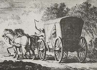
Der Ort ist circa 1000 Jahre alt und hieß ehemals Benzviet. Ein Postkreuz aus dem Jahre 1556 an der Poststrecke WienLüttich gibt Zeugnis von der Bedeutung des Ortes zur damaligen Zeit.
Classification
- Subject area
- History
- Category
- Place Names / Local History
- Date
- 1000
Location
- District
- Bernkastel-Wittlich
- Collective municipality
- Wittlich-Land
- Municipality
- Binsfeld
- Field name
- Im Bungert
- Coordinates
- WGS 84: 49.965226, 6.707247 (Position: within the village) WGS 84: 49° 57′ 54.8″ N, 6° 42′ 26.1″ E UTM 32 (ETRS89): E 335574 · N 5537284
Sources
Data sources
- Internet
On the internet
Picture credits
- Picture 1: Ansichtskarte von 1938 http://www.bartko-reher-antiquitaeten.de/xxxframe.htm
Last edited: 3 May 2002 Object ID: 1414
https://kulturdb.de/en/objekt/1414-binsfeld-ortsgeschichte-binsfeld
Nearby
The nearest objects
 less than 10 m
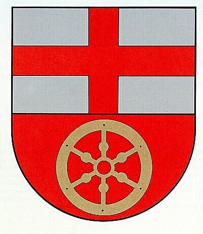
Coats of Arms
Wappen der Gemeinde Binsfeld
 less than 10 m
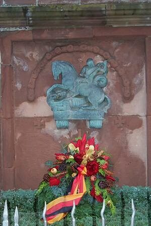
War Memorials
Kriegerdenkmal
 less than 10 m
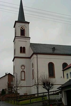
Catholic Churches
Sankt Georg
Farmhouses and Farm Buildings
Zwillingsfenster
Wayside Shrines and Stations of the Cross
Wegekreuz
 80 m
Market Towns
Marktort Binsfeld
 100 m
Wayside Shrines and Stations of the Cross
Sogenanntes Postkreuz
Find Sites