Mills · Renaissance
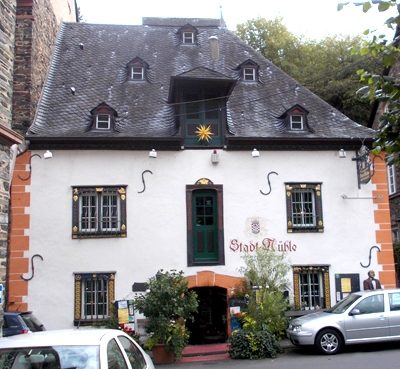
Stadtmühle am Weihertorplatz


© GeoBasis-DE / LVermGeoRP, dl-de/by-2-0
There is no picture of this object yet. Do you have a photo that you would like to make available to the Kulturdatenbank? Submit a picture
Description
This description is only available in German.
Translate with Google opens this page in Google Translate (external service)
Erbaut 1688 zur Versorgung der Festung "Mont Royal" mit Mehl. Das Wasser zum Antrieb des Mühlrades wurde aus einem eigens hierzu vor der Stadtmauer angelegten Weiher entnommen.
Classification
- Subject area
- Architectural and Art Monuments
- Object type
- Mills
- Date
- 1688
- Period
- Renaissance
Location
- District
- Bernkastel-Wittlich
- Town
- Traben-Trarbach
- Locality / location
- Trarbach
- Street
- Weihertorplatz
- Field name
- Ortslage
- Coordinates
- WGS 84: 49.946309, 7.110792 (Position: exact) WGS 84: 49° 56′ 46.7″ N, 7° 06′ 38.9″ E UTM 32 (ETRS89): E 364459 · N 5534372
Sources
Data sources
- Homepage der Stadt Traben-Trarbach http://www.traben-trarbach.de/
On the internet
Last edited: 18 Apr 2008 Object ID: 14645
https://kulturdb.de/en/objekt/14645-traben-trarbach-stadtmuehle-am-weihertorplatz
Nearby
The nearest objects
 20 m
Mills
Ehemalige Stadtmühle
 40 m
Schools
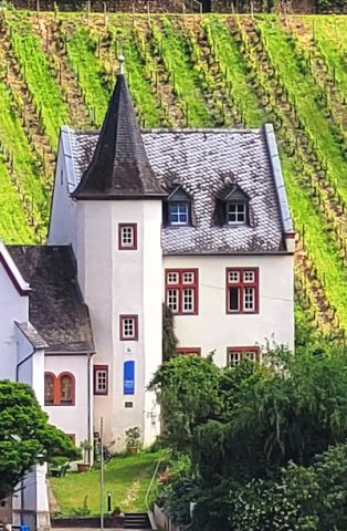
Ehemalige Lateinschule
Town Houses and Commercial Buildings
Wohn- und Geschäftshaus
Town Houses and Commercial Buildings
Siebenachsiges dreigeschossiges Zeilenwohnhaus
Mills
Ehemalige Stadtmühle
Town Houses and Commercial Buildings
Doppelwohnhaus
 70 m
Protestant Churches
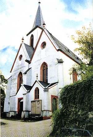
Evangelische Pfarrkirche (2)
Town Houses and Commercial Buildings