Settlements · Celtic / Roman Period
Römische Hofstelle
Katholischer Pfarrhof
- Listed monument


© GeoBasis-DE / LVermGeoRP, dl-de/by-2-0
There is no picture of this object yet. Do you have a photo that you would like to make available to the Kulturdatenbank? Submit a picture
Description
This description is only available in German.
Translate with Google opens this page in Google Translate (external service)
Im Keller [des Pfarrhofes] weisen Mauerreste und Ziegelfunde auf eine römische Hofstelle hin.
Classification
- Subject area
- Archaeological Monuments
- Category
- Settlements
- Object type
- Settlements
- Date
- Circa 500 vor Chr. bis circa 500 nach Chr.
- Period
- Celtic / Roman Period
Location
- District
- Bernkastel-Wittlich
- Collective municipality
- Traben-Trarbach
- Municipality
- Kröv
- Street
- Robert-Schuman-Straße 41
- Field name
- Ortslage
- Coordinates
- WGS 84: 49.980730, 7.089472 (Position: exact) WGS 84: 49° 58′ 50.6″ N, 7° 05′ 22.1″ E UTM 32 (ETRS89): E 363028 · N 5538237
Sources
Data sources
- Homepage der Gemeinde Kröv http://www.kroev-touristik.de/
On the internet
Last edited: 6 Aug 2009 Object ID: 14654
https://kulturdb.de/en/objekt/14654-kroev-roemische-hofstelle
Nearby
The nearest objects
Farmhouses and Farm Buildings
Pfarrhof
Farmhouses and Farm Buildings
Ehemalige Niederlassung der Abtei Echternach
Farmhouses and Farm Buildings
Springiersbacher Hof
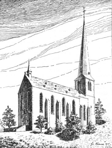 50 m
Catholic Churches
Sankt Remigius - Außen
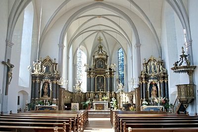 50 m
Catholic Churches
Sankt Remigius - Innen
Farmhouses and Farm Buildings
Wohnhaus
Vineyard Sites
Kirchlay
Farmhouses and Farm Buildings