Farmhouses and Farm Buildings · 20th Century
Gebäude Dorfstraße 16
- Listed monument


© GeoBasis-DE / LVermGeoRP, dl-de/by-2-0
There is no picture of this object yet. Do you have a photo that you would like to make available to the Kulturdatenbank? Submit a picture
Description
This description is only available in German.
Translate with Google opens this page in Google Translate (external service)
Das Gebäude Dorfstrasse 16 von 1927 ist ein besonders augenfälliges Beispiel für die örtliche Steinmetztradition, die lange Zeit spätgründerzeitliche Formen weiter verwendete. [1]
Classification
- Subject area
- Architectural and Art Monuments
- Category
- Residential and Farm Buildings
- Object type
- Farmhouses and Farm Buildings
- Date
- 1927
- Period
- 20th Century
Location
- District
- Trier-Saarburg
- Collective municipality
- Saarburg-Kell
- Municipality
- Freudenburg
- Locality / location
- Kollesleuken
- Street
- Dorfstraße 16
- Field name
- Ortslage
- Coordinates
- WGS 84: 49.548689, 6.511916 (Position: exact) WGS 84: 49° 32′ 55.3″ N, 6° 30′ 42.9″ E UTM 32 (ETRS89): E 320032 · N 5491428
Sources
Data sources
- [1] Denkmaltopographie Bundesrepublik Deutschland, Kulturdenkmäler in Rheinland-Pfalz; Band 12.1
On the internet
Last edited: 9 May 2008 Object ID: 14705
https://kulturdb.de/en/objekt/14705-freudenburg-gebaeude-dorfstrasse-16
Nearby
The nearest objects
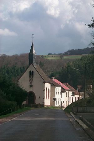 40 m
Place Names / Local History
Ortsname / Ortsgeschichte
Mills
Hackenberger Mühle am Leukbach
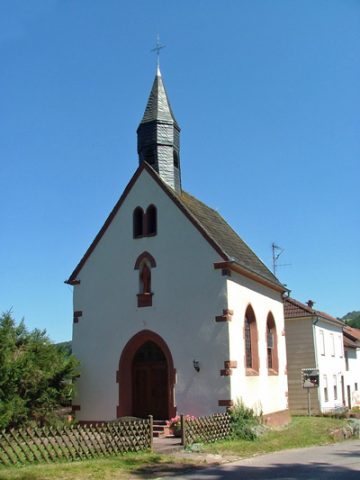 80 m
Catholic Churches
Sankt Ottilie
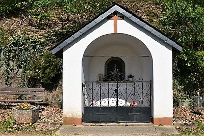 220 m
Wayside Shrines and Stations of the Cross
Kapelle der heiligen Ottilie
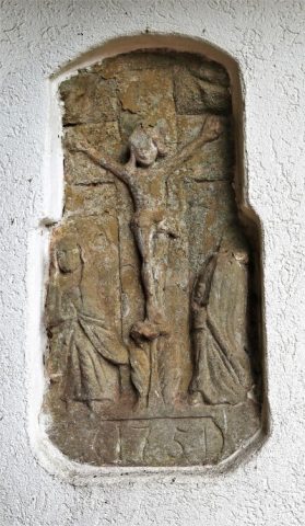 220 m
Chapels
Kapelle der heiligen Ottilie - Kreuzigungsrelief
Field Names
Aufm Mistbungert
 460 m
Wayside Shrine Houses
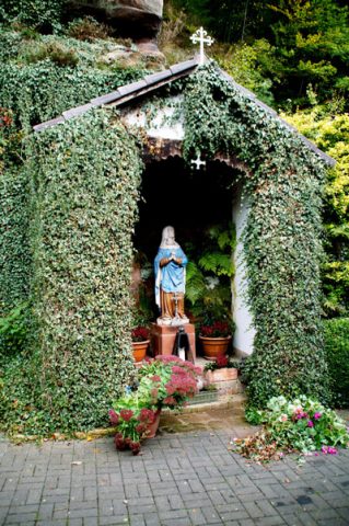
Heiligenhäuschen an der Herrenmühle
 490 m
Mills