Spur Castles · Gothic
Rodburg
Befestigungsanlage
- Listed monument


© GeoBasis-DE / LVermGeoRP, dl-de/by-2-0
There is no picture of this object yet. Do you have a photo that you would like to make available to the Kulturdatenbank? Submit a picture
Description
This description is only available in German.
Translate with Google opens this page in Google Translate (external service)
Knapp 1.000 Meter südlich des Ortes liegen sich, von der Leuk getrennt, jeweils zwischen ihr und einem Bach zulaufend, zwei ältere mittelalterliche Befestigungen gegenüber, die Altburg auf der Westseite und die Rodburg auf der Ostseite. Von beiden über steil abfallenden Buntsandsteinhöhen erbauten Anlagen künden nur erkennbare Abschnitte und Geröll. [1]
Classification
- Subject area
- Archaeological Monuments
- Object type
- Spur Castles
- Date
- Circa 1100 bis circa 1500
- Period
- Gothic
Location
- District
- Trier-Saarburg
- Collective municipality
- Saarburg-Kell
- Municipality
- Kirf
- Locality / location
- Hof Spirkelsbach
- Field name
- In Bantenfels
- Coordinates
- WGS 84: 49.541743, 6.508955 (Position: presumed) WGS 84: 49° 32′ 30.3″ N, 6° 30′ 32.2″ E UTM 32 (ETRS89): E 319792 · N 5490663
Sources
Data sources
- [1] Denkmaltopographie Bundesrepublik Deutschland, Kulturdenkmäler in Rheinland-Pfalz; Band 12.1
On the internet
Last edited: 25 Jul 2020 Object ID: 14707
https://kulturdb.de/en/objekt/14707-kirf-rodburg
Nearby
The nearest objects
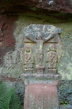 180 m
Wayside Shrines and Stations of the Cross
Schaftkreuz bei Herrenmühle
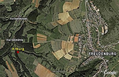 200 m
Spur Castles
Altburg
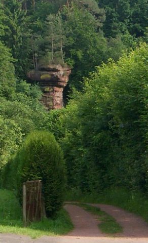 200 m
Rocks
Felsnadel Pilsfelsen
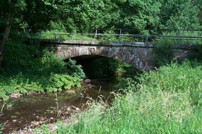 280 m
Road Transport
Brücke über die Leuk bei Herrenmühle
 310 m
Mills
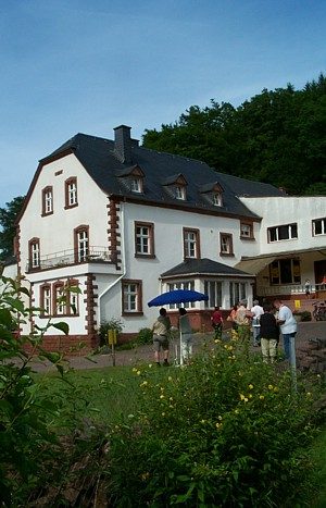
Herrenmühle in Kollesleuken (1)
 310 m
Mills
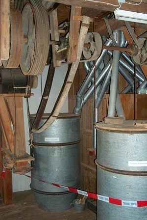
Herrenmühle in Kollesleuken (2)
Wayside Shrines and Stations of the Cross
Wegekreuz
 350 m
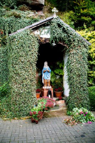
Wayside Shrine Houses