Burial Mounds · Celtic / Roman Period
Grabhügel
Heidenburger Hof
- Listed monument


© GeoBasis-DE / LVermGeoRP, dl-de/by-2-0
There is no picture of this object yet. Do you have a photo that you would like to make available to the Kulturdatenbank? Submit a picture
Description
This description is only available in German.
Translate with Google opens this page in Google Translate (external service)
Ein großer gemauerter Grabhügel mit gemauerter Kammer wurde 1884 gegraben. Über die näheren Fundumstände ist nichts bekannt. [1]
Classification
- Subject area
- Archaeological Monuments
- Category
- Burials
- Object type
- Burial Mounds
- Date
- 1. Jahrhundert nach Chr.
- Period
- Celtic / Roman Period
Location
- District
- Bernkastel-Wittlich
- Collective municipality
- Thalfang am Erbeskopf
- Municipality
- Heidenburg
- Field name
- In der Mieswies
- Coordinates
- WGS 84: 49.785707, 6.943113 (Position: presumed) WGS 84: 49° 47′ 08.5″ N, 6° 56′ 35.2″ E UTM 32 (ETRS89): E 351940 · N 5516835
Sources
Data sources
- [1] Wolfgang Ebel: Die römischen Grabhügel des ersten Jahrhunderts im Treverergebiet. Marburger Studien zur Vor- und Frühgeschichte; Band 12. ISBN 3-89398-018-0
On the internet
Last edited: 24 May 2008 Object ID: 14796
https://kulturdb.de/en/objekt/14796-heidenburg-grabhuegel
Nearby
The nearest objects
Wayside Shrines and Stations of the Cross
Wegekreuz
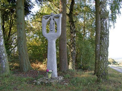 140 m
Wayside Shrines and Stations of the Cross
Studentenkreuz
Field Names
Hinter Streitchen
Wayside Shrines and Stations of the Cross
Wegekreuz
Field Names
Streitchen
Chapels
Marienkapelle
Oaks
Ehemalige Dicke Eiche von Heidenburg
Extraction and Processing of Raw Materials