Burial Mounds · Celtic / Roman Period
Grabhügel
- Listed monument


© GeoBasis-DE / LVermGeoRP, dl-de/by-2-0
There is no picture of this object yet. Do you have a photo that you would like to make available to the Kulturdatenbank? Submit a picture
Description
This description is only available in German.
Translate with Google opens this page in Google Translate (external service)
Aus einem einzelnen Hügel stammt angeblich ein heute verlorener römischer Fund […]
Classification
- Subject area
- Archaeological Monuments
- Category
- Burials
- Object type
- Burial Mounds
- Date
- 1. Jahrhundert nach Chr.
- Period
- Celtic / Roman Period
Location
- District
- City of Trier
- Collective municipality
- Verbandsfreie Gemeinde Trier
- Town
- Trier
- Locality / location
- Irsch
- Field name
- Klausberg
- Coordinates
- WGS 84: 49.719409, 6.708575 (Position: presumed) WGS 84: 49° 43′ 09.9″ N, 6° 42′ 30.9″ E UTM 32 (ETRS89): E 334834 · N 5509954
Sources
Data sources
- Fundstellenkatalog: Die keltisch-römische Siedlung von Wallendorf und ihr archäologisches Umfeld. Dirk L. Krausse unter Mitarbeit von Antje Fischbock. 2006
On the internet
Last edited: 24 May 2008 Object ID: 14799
https://kulturdb.de/en/objekt/14799-trier-grabhuegel
Nearby
The nearest objects
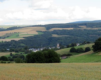 620 m
Viewpoints
Aussichtspunkt Im Neuenflur
Field Names
Im Engelborn
Field Names
Längten auf der Kesselsank
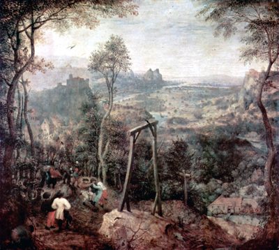 900 m
Execution Sites
Gewann Auf Galgenkopf
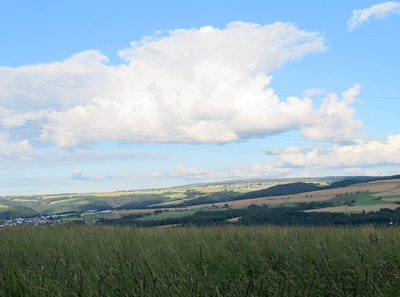 900 m
Viewpoints
Aussichtspunkt Galgenkopf
Field Names
Kessellängten
Field Names
Kasborn
Field Names