Burial Mounds · Hunsrück-Eifel Culture
Grabhügel Mährenshüwel
- Listed monument


© GeoBasis-DE / LVermGeoRP, dl-de/by-2-0
There is no picture of this object yet. Do you have a photo that you would like to make available to the Kulturdatenbank? Submit a picture
Description
This description is only available in German.
Translate with Google opens this page in Google Translate (external service)
Aus einem der beiden Hunsrück-Eifel-Kultur-zetlichen Hügel stammen einige nicht datierbare römische Funde. [1]
Classification
- Subject area
- Archaeological Monuments
- Category
- Burials
- Object type
- Burial Mounds
- Date
- Ende des 7. Jh. vor Chr. bis ca. 300 vor Chr.
- Period
- Hunsrück-Eifel Culture
Location
- District
- Trier-Saarburg
- Collective municipality
- Saarburg-Kell
- Municipality
- Kell am See
- Locality / location
- Kell
- Field name
- Auf der Thonn
- Coordinates
- WGS 84: 49.640438, 6.840478 (Position: presumed) WGS 84: 49° 38′ 25.6″ N, 6° 50′ 25.7″ E UTM 32 (ETRS89): E 344088 · N 5500894
Sources
Data sources
- [1] Wolfgang Ebel: Die römischen Grabhügel des ersten Jahrhunderts im Treverergebiet. Marburger Studien zur Vor- und Frühgeschichte; Band 12. ISBN 3-89398-018-0
On the internet
Last edited: 17 Jun 2008 Object ID: 14846
https://kulturdb.de/en/objekt/14846-kell-am-see-grabhuegel-maehrenshuewel
Nearby
The nearest objects
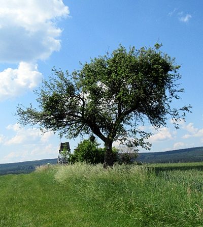 160 m
Viewpoints
Aussichtspunkt südlich Wallerplatz
Field Names
Krechelswies
Wayside Shrines and Stations of the Cross
Wegekreuz
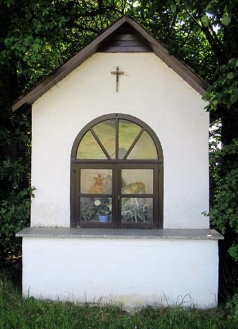 590 m
Chapels
Sogenanntes Marchandkapellchen
Field Names
In Kollert
 820 m
Place Names / Local History
Ortsname / Ortsgeschichte
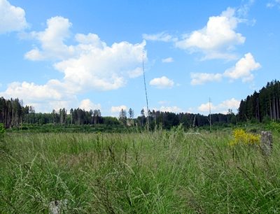 850 m
Field Names
Breitwies
 940 m
Wayside Shrines and Stations of the Cross