Burial Mounds · Celtic / Roman Period
Grabhügel
Die Horst
- Listed monument

Description
This description is only available in German.
Translate with Google opens this page in Google Translate (external service)
Zwei Hügel von 16 und 15 Metern Durchmesser. Über Grabungen ist nichts bekannt, aus dem Bereich der Hügel sollen jedoch römische Baureste stammen. [1]
Classification
- Subject area
- Archaeological Monuments
- Category
- Burials
- Object type
- Burial Mounds
- Date
- 1. Jahrhundert nach Chr.
- Period
- Celtic / Roman Period
Location
- District
- Bernkastel-Wittlich
- Collective municipality
- Einheitsgemeinde Morbach
- Municipality
- Morbach
- Locality / location
- Hof Geiersley
- Field name
- Geischlei
- Coordinates
- WGS 84: 49.822148, 7.121633 (Position: presumed) WGS 84: 49° 49′ 19.7″ N, 7° 07′ 17.9″ E UTM 32 (ETRS89): E 364891 · N 5520549
Sources
Data sources
- [1] Wolfgang Ebel: Die römischen Grabhügel des ersten Jahrhunderts im Treverergebiet. Marburger Studien zur Vor- und Frühgeschichte; Band 12. ISBN 3-89398-018-0
On the internet
Picture credits
- Picture 1: http://www.biebertalonline.de/gemeinde/grab1.jpg
Last edited: 18 Jun 2008 Object ID: 14849
https://kulturdb.de/en/objekt/14849-morbach-grabhuegel
Nearby
The nearest objects
No picture
230 m
Field Names
Hundswiese
No picture
530 m
Field Names
Batzendriesch
No picture
800 m
Field Names
Rodebüsch
 970 m
Commemorative Plantings
Kaisergarten
No picture
1.0 km
Field Names
Wolfskaul
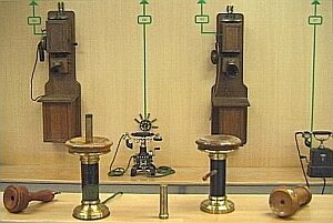 1.0 km
Museums
Deutsches Telefon-Museum
No picture
1.1 km
Mills
Ehemalige Mühle
 1.1 km
Market Towns