Fountains and Wells · Historicism / Art Nouveau
Laufbrunnen
- Listed monument


© GeoBasis-DE / LVermGeoRP, dl-de/by-2-0
There is no picture of this object yet. Do you have a photo that you would like to make available to the Kulturdatenbank? Submit a picture
Description
This description is only available in German.
Translate with Google opens this page in Google Translate (external service)
Zwischen Dorfstraße 21 und 24. Laufbrunnen, 2. Hälfte 19. Jahrhundert. Gußeiserner Brunnenstock mit zwei jüngeren Sandsteinbecken. [1]
Classification
- Subject area
- Architectural and Art Monuments
- Category
- Fountains and Wells
- Date
- 2. Hälfte 19. Jahrhundert
Location
- District
- Bernkastel-Wittlich
- Collective municipality
- Thalfang am Erbeskopf
- Municipality
- Rorodt
- Street
- Ortsstraße 21
- Field name
- In den Hasenfeldern
- Coordinates
- WGS 84: 49.768504, 7.050125 (Position: exact) WGS 84: 49° 46′ 06.6″ N, 7° 03′ 00.5″ E UTM 32 (ETRS89): E 359593 · N 5514717
Sources
Data sources
- [1] Denkmalliste des Landkreises Bernkastel-Wittlich, Juni 2008. Kreisverwaltung Bernkastel-Wittlich, Fachbereich Beraten, Planen, Fördern. Postfach 1420, 54504 Wittlich.
On the internet
Last edited: 23 Jun 2008 Object ID: 14923
https://kulturdb.de/en/objekt/14923-rorodt-laufbrunnen
Nearby
The nearest objects
Place Names / Local History
Die Mark Thalfang
 100 m
Coats of Arms
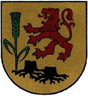
Wappen der Gemeinde Rorodt
Field Names
Auf dem Bungert
Field Names
Ober der Kirchenwies
Field Names
In der Kirchenwies
 290 m
Oaks
Eiche im Ort
 330 m
Field Names
Im Faulenberg
430 m
Field Names