Natural Landscapes · Undated
Sauerschleife


Classification
- Subject area
- Natural Features
- Category
- Natural Landscapes
- Date
- Undatiert
- Period
- Undated
Location
- District
- Trier-Saarburg
- Collective municipality
- Trier-Land
- Municipality
- Ralingen
- Locality / location
- Ralinger Mühle
- Field name
- In der obersten Wiese unter dem Weg
- Coordinates
- WGS 84: 49.812075, 6.525279 (Position: exact) WGS 84: 49° 48′ 43.5″ N, 6° 31′ 31.0″ E UTM 32 (ETRS89): E 321963 · N 5520675
Sources
Data sources
- [1] Wanderkarten im Maßstab 1:50.000 und 1:25.000.
On the internet
Picture credits
Last edited: 23 May 2008 Object ID: 14935
https://kulturdb.de/en/objekt/14935-ralingen-sauerschleife
Nearby
The nearest objects
No picture
190 m
Mills
Ralinger Mühle am Mühlenbach
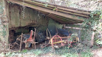 210 m
Fortresses and Bunkers
Westwall - Maschinengewehr-Schartenstand
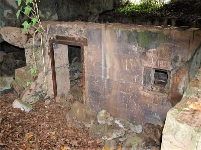 220 m
Fortresses and Bunkers
Westwall - Maschinengewehr-Schartenstand
No picture
270 m
Fortresses and Bunkers
Westwall - Maschinengewehr-Schartenstand
No picture
330 m
Fortresses and Bunkers
Westwall - Maschinengewehr-Schartenstand
No picture
470 m
Fortresses and Bunkers
Westwall - Regelbau 10
No picture
580 m
Mills
Reitzmühle am Mühlenbach
No picture
660 m
Find Sites