Wayside Shrines and Stations of the Cross · Baroque / Rococo
Schaftkreuz
- Listed monument


© GeoBasis-DE / LVermGeoRP, dl-de/by-2-0
There is no picture of this object yet. Do you have a photo that you would like to make available to the Kulturdatenbank? Submit a picture
Classification
- Subject area
- Architectural and Art Monuments
- Category
- Religious Buildings
- Object type
- Wayside Shrines and Stations of the Cross
- Date
- 1767
- Period
- Baroque / Rococo
Location
- District
- Bernkastel-Wittlich
- Town
- Bernkastel-Kues
- Locality / location
- Kues
- Street
- Bei Brüningstraße 119
- Field name
- Ortslage
- Coordinates
- WGS 84: 49.922397, 7.065034 (Position: exact) WGS 84: 49° 55′ 20.6″ N, 7° 03′ 54.1″ E UTM 32 (ETRS89): E 361108 · N 5531797
Sources
Data sources
- [1] Denkmalliste des Landkreises Bernkastel-Wittlich, Juni 2008. Kreisverwaltung Bernkastel-Wittlich, Fachbereich Beraten, Planen, Fördern. Postfach 1420, 54504 Wittlich.
On the internet
Last edited: 2 Sep 2025 Object ID: 14936
https://kulturdb.de/en/objekt/14936-bernkastel-kues-schaftkreuz
Nearby
The nearest objects
No picture
200 m
Cremation Graves
Frührömische Brandgräber
No picture
220 m
Catering, Inns and Hotels
Ehemalige Bürger-Bräu Bierbrauerei P. Schmitgen
No picture
330 m
Field Names
Im Moselborn
 380 m
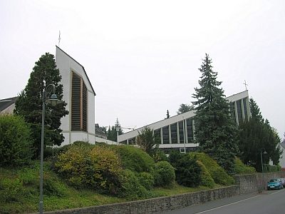
Catholic Churches
Ehemalige Marienkirche
 390 m
Settlements
Römische Siedlung
 420 m
Field Names
Haargarten
 490 m
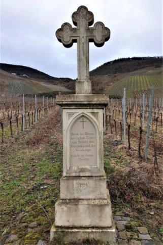
Wayside Shrines and Stations of the Cross
Wegekreuz
No picture
500 m
Administrative Buildings