Farmhouses and Farm Buildings · Neoclassicism
Wohnhaus
- Listed monument


© GeoBasis-DE / LVermGeoRP, dl-de/by-2-0
There is no picture of this object yet. Do you have a photo that you would like to make available to the Kulturdatenbank? Submit a picture
Description
This description is only available in German.
Translate with Google opens this page in Google Translate (external service)
Traufständiges Wohnhaus an der Abzweigung der Steinstraße. Zweigeschossiger Bau mit Mansarddach. Das Erdgeschoß massiv erneuert und modernisiert, sonst verschiefert. Aufgrund der Fensteranordnung ein gut erhaltenes Sichtfachwerk aus der Zeit um 1800 zu vermuten. [1]
Classification
- Subject area
- Architectural and Art Monuments
- Category
- Residential and Farm Buildings
- Object type
- Farmhouses and Farm Buildings
- Date
- Um 1800
- Period
- Neoclassicism
Location
- District
- Bernkastel-Wittlich
- Collective municipality
- Traben-Trarbach
- Municipality
- Lötzbeuren
- Street
- Unterstraße 2
- Field name
- Ortslage
- Coordinates
- WGS 84: 49.936599, 7.220783 (Position: exact) WGS 84: 49° 56′ 11.8″ N, 7° 13′ 14.8″ E UTM 32 (ETRS89): E 372325 · N 5533099
Sources
Data sources
- [1] Denkmalliste des Landkreises Bernkastel-Wittlich, Juni 2008. Kreisverwaltung Bernkastel-Wittlich, Fachbereich Beraten, Planen, Fördern. Postfach 1420, 54504 Wittlich.
On the internet
Last edited: 27 Jun 2008 Object ID: 15039
https://kulturdb.de/en/objekt/15039-loetzbeuren-wohnhaus
Nearby
The nearest objects
Farmhouses and Farm Buildings
Wohnhaus
Farmhouses and Farm Buildings
Wohnhaus
 30 m
Protestant Churches
Evangelische Pfarrkirche
30 m
Organs
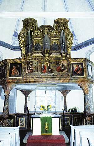
Stumm-Orgel
Farmhouses and Farm Buildings
Gehöft
Farmhouses and Farm Buildings
Gehöft
Farmhouses and Farm Buildings
Wohnhaus
Farmhouses and Farm Buildings