Wayside Shrine Houses · Neoclassicism
Heiligenhäuschen
- Listed monument


© GeoBasis-DE / LVermGeoRP, dl-de/by-2-0
There is no picture of this object yet. Do you have a photo that you would like to make available to the Kulturdatenbank? Submit a picture
Description
This description is only available in German.
Translate with Google opens this page in Google Translate (external service)
Heiligenhäuschen südöstlich der Ortslage am Waldrand. Rund geschlossener verputzter Mauerblock mit segmentbogiger Nische, 18./19. Jahrhundert. [1]
Classification
- Subject area
- Architectural and Art Monuments
- Category
- Religious Buildings
- Object type
- Wayside Shrine Houses
- Date
- 18./19. Jahrhundert
- Period
- Neoclassicism
Location
- District
- Bernkastel-Wittlich
- Collective municipality
- Wittlich-Land
- Municipality
- Niederscheidweiler
- Field name
- Die Schlof
- Coordinates
- WGS 84: 50.050263, 6.955962 (Position: exact) WGS 84: 50° 03′ 00.9″ N, 6° 57′ 21.5″ E UTM 32 (ETRS89): E 353668 · N 5546221
Sources
Data sources
- [1] Denkmalliste der Generaldirektion Kulturelles Erbe, Rheinland-Pfalz; 2015.
On the internet
Last edited: 27 Jun 2008 Object ID: 15064
https://kulturdb.de/en/objekt/15064-niederscheidweiler-heiligenhaeuschen
Nearby
The nearest objects
 430 m
Field Names
Hargartenberg
 510 m
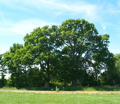
Oaks
2 Eichen
Deserted Settlements
Wüstung Wasserfall
 830 m
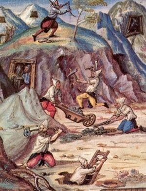
Extraction and Processing of Raw Materials
Eisenerz-Suchstollen am Sammetbach
Chapels
Wegekapelle
Extraction and Processing of Raw Materials
Steinbruch Liewer
Viewpoints
Aussichtspunkt Essen-Berg
Field Names