Place Names / Local History · Gothic
Ortsgeschichte Lünebach


© GeoBasis-DE / LVermGeoRP, dl-de/by-2-0
There is no picture of this object yet. Do you have a photo that you would like to make available to the Kulturdatenbank? Submit a picture
Description
This description is only available in German.
Translate with Google opens this page in Google Translate (external service)
Auf das Jahr 1352 datiert die älteste Urkunde über den Ort, der damals Lonenbach, später Luyngenbach hieß.
Classification
- Subject area
- History
- Category
- Place Names / Local History
- Date
- 1352
- Period
- Gothic
Location
- District
- Eifelkreis Bitburg-Prüm
- Collective municipality
- Arzfeld
- Municipality
- Lünebach
- Field name
- Ortslage
- Coordinates
- WGS 84: 50.139642, 6.346774 (Position: within the village) WGS 84: 50° 08′ 22.7″ N, 6° 20′ 48.4″ E UTM 32 (ETRS89): E 310414 · N 5557528
Sources
Data sources
- Internet
On the internet
Last edited: 7 Oct 2003 Object ID: 1507
https://kulturdb.de/en/objekt/1507-luenebach-ortsgeschichte-luenebach
Nearby
The nearest objects
Mills
Untere Lünebacher Mühle an der Prüm
Wayside Shrines and Stations of the Cross
Balkenkreuz aus Schiefer von 1811
Railways
Ehemaliger Haltepunkt Lünebach
Farmhouses and Farm Buildings
Wohnhaus eines Streugehöfts
Farmhouses and Farm Buildings
Streckhof
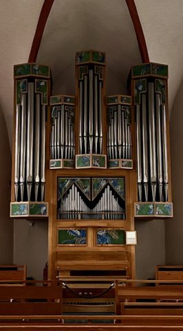 220 m
Organs
Sankt Gertrud - Orgel
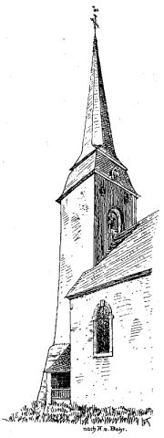 220 m
Catholic Churches
Sankt Gertrud
Mills