Farmhouses and Farm Buildings · Renaissance
Wohnhaus
- Listed monument


© GeoBasis-DE / LVermGeoRP, dl-de/by-2-0
There is no picture of this object yet. Do you have a photo that you would like to make available to the Kulturdatenbank? Submit a picture
Description
This description is only available in German.
Translate with Google opens this page in Google Translate (external service)
Kleiner, giebelständiger Bau, teils massiv mit Rechteck- und Segmentbogenöffnungen, teils Schmuckfachwerk des 17./18. Jahrhunderts. Wohl um 1900 neues Dach mit Kniestock. [1]
Classification
- Subject area
- Architectural and Art Monuments
- Category
- Residential and Farm Buildings
- Object type
- Farmhouses and Farm Buildings
- Date
- 17./18. Jahrhundert
- Period
- Renaissance
Location
- District
- Bernkastel-Wittlich
- Collective municipality
- Bernkastel-Kues
- Municipality
- Kesten
- Street
- Am Herrenberg 19A
- Field name
- Ortslage
- Coordinates
- WGS 84: 49.899782, 6.954665 (Position: exact) WGS 84: 49° 53′ 59.2″ N, 6° 57′ 16.8″ E UTM 32 (ETRS89): E 353118 · N 5529494
Sources
Data sources
- [1] Denkmalliste des Landkreises Bernkastel-Wittlich, Juni 2008. Kreisverwaltung Bernkastel-Wittlich, Fachbereich Beraten, Planen, Fördern. Postfach 1420, 54504 Wittlich.
On the internet
Last edited: 17 May 2025 Object ID: 15122
https://kulturdb.de/en/objekt/15122-kesten-wohnhaus
Nearby
The nearest objects
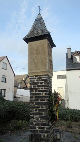 10 m
Wayside Shrines and Stations of the Cross
Gefallenenehrenmal bei Sankt Georg
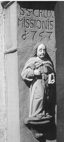 20 m
Wayside Shrines and Stations of the Cross
Missionskreuz mit Sankt Matthias
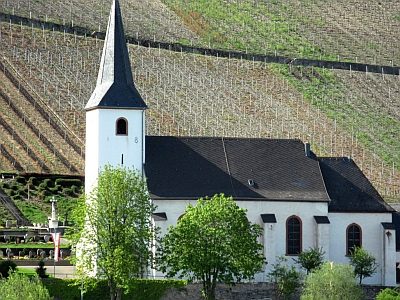 40 m
Catholic Churches
Sankt Georg
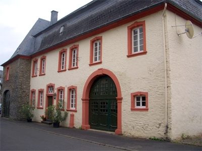 60 m
Farmhouses and Farm Buildings
Quereinhaus
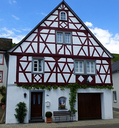 110 m
Farmhouses and Farm Buildings
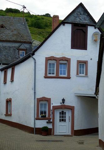
Wohnhaus
 120 m
Farmhouses and Farm Buildings
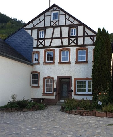
Wohnhaus
 120 m
Ferries
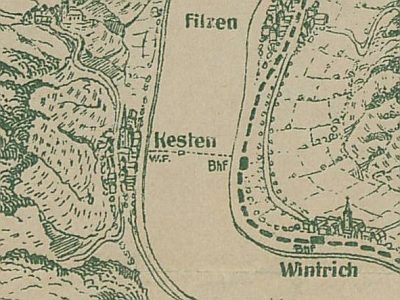
Ehemalige Wagenfähre Kesten - Wintrich
 130 m
Farmhouses and Farm Buildings