Farmhouses and Farm Buildings · Historicism / Art Nouveau
Wohnhaus
- Listed monument


© GeoBasis-DE / LVermGeoRP, dl-de/by-2-0
There is no picture of this object yet. Do you have a photo that you would like to make available to the Kulturdatenbank? Submit a picture
Description
This description is only available in German.
Translate with Google opens this page in Google Translate (external service)
Stattlicher, traufständiger Massivbau von sieben Achsen Länge mit dreiachsigem, flach übergiebeltem Mittelrisalit. Spätklassizistisch, um Mitte 19. Jahrhundert. [1]
Classification
- Subject area
- Architectural and Art Monuments
- Category
- Residential and Farm Buildings
- Object type
- Farmhouses and Farm Buildings
- Date
- Mitte des 19. Jahrhunderts
Location
- District
- Bernkastel-Wittlich
- Collective municipality
- Bernkastel-Kues
- Municipality
- Kesten
- Street
- Paulinstraße 20
- Field name
- Ortslage
- Coordinates
- WGS 84: 49.902385, 6.957010 (Position: exact) WGS 84: 49° 54′ 08.6″ N, 6° 57′ 25.2″ E UTM 32 (ETRS89): E 353294 · N 5529779
Sources
Data sources
- [1] Denkmalliste des Landkreises Bernkastel-Wittlich, Juni 2008. Kreisverwaltung Bernkastel-Wittlich, Fachbereich Beraten, Planen, Fördern. Postfach 1420, 54504 Wittlich.
On the internet
Last edited: 30 Jun 2008 Object ID: 15127
https://kulturdb.de/en/objekt/15127-kesten-wohnhaus
Nearby
The nearest objects
Jewish Cemeteries
Jüdischer Friedhof
Farmhouses and Farm Buildings
Ehemaliger Paulinshof
Castles
Ehemaliges Burghaus
Farmhouses and Farm Buildings
Wohnhaus
Jewish History
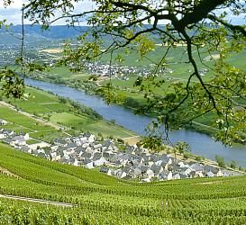
Jüdische Siedlung
 100 m
Wayside Shrines and Stations of the Cross
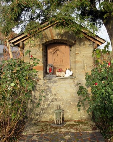
Heiligenhäuschen
 100 m
Farmhouses and Farm Buildings
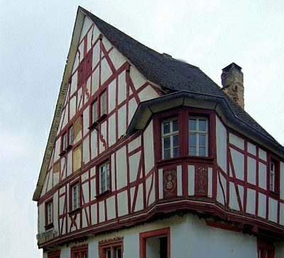
Sogenanntes Schwalbenhaus
 140 m
Place Names / Local History