Rectories · Renaissance
Ehemaliges Pfarrhaus
- Listed monument


© GeoBasis-DE / LVermGeoRP, dl-de/by-2-0
There is no picture of this object yet. Do you have a photo that you would like to make available to the Kulturdatenbank? Submit a picture
Description
This description is only available in German.
Translate with Google opens this page in Google Translate (external service)
Ehemaliges Pfarrhaus, ursprünglich Schloß der Grafen von Kesselstatt.
In großem, ummauertem Garten gelegen. Zur Mosel geböschte Stützmauer mit Cordonstein, die sich im Bereich der östlich anschließenden Gärten zäsurlos fortsetzt. [1]
Classification
- Subject area
- Architectural and Art Monuments
- Category
- Administrative Buildings
- Object type
- Rectories
- Date
- 1683
- Period
- Renaissance
Location
- District
- Bernkastel-Wittlich
- Collective municipality
- Bernkastel-Kues
- Municipality
- Lösnich
- Street
- Fährstraße 2
- Field name
- Ortslage
- Coordinates
- WGS 84: 49.975082, 7.042795 (Position: exact) WGS 84: 49° 58′ 30.3″ N, 7° 02′ 34.1″ E UTM 32 (ETRS89): E 359665 · N 5537696
Sources
Data sources
- [1] Denkmalliste des Landkreises Bernkastel-Wittlich, Juni 2008. Kreisverwaltung Bernkastel-Wittlich, Fachbereich Beraten, Planen, Fördern. Postfach 1420, 54504 Wittlich.
On the internet
Last edited: 4 Jul 2008 Object ID: 15241
https://kulturdb.de/en/objekt/15241-loesnich-ehemaliges-pfarrhaus
Nearby
The nearest objects
Manorial Residences and Estate Buildings
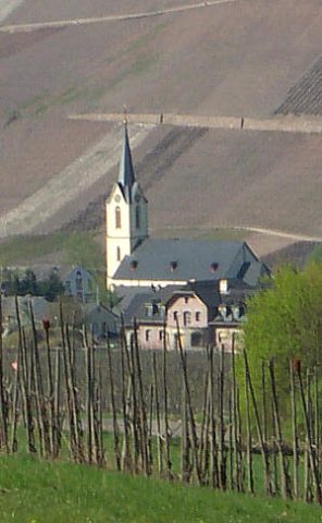
Ehemaliges Schloss
 80 m
Catholic Churches
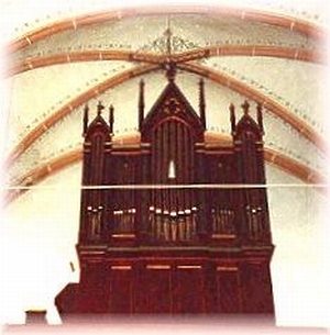
Sankt Vitus
 80 m
Organs
Sankt Vitus - Breidenfeld-Orgel
Farmhouses and Farm Buildings
Wohnhaus
Town Houses and Commercial Buildings
Wohnhaus
 130 m
Ferries
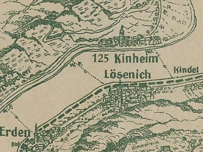
Ehemalige Wagenfähre Lösenich - Kinheim
Town Houses and Commercial Buildings
Wohnhaus
Town Houses and Commercial Buildings