Farmhouses and Farm Buildings · Renaissance
Ehemaliger Hof der Trierer Kartause


© GeoBasis-DE / LVermGeoRP, dl-de/by-2-0
There is no picture of this object yet. Do you have a photo that you would like to make available to the Kulturdatenbank? Submit a picture
Description
This description is only available in German.
Translate with Google opens this page in Google Translate (external service)
Der Hof der Trierer Kartause, der 1663 durch ein Cellarium und vier Gemächer erweitert wurde, ist nicht mehr nachweisbar.
Classification
- Subject area
- Architectural and Art Monuments
- Category
- Residential and Farm Buildings
- Object type
- Farmhouses and Farm Buildings
- Date
- 1663 [Erweiterung]
- Period
- Renaissance
Location
- District
- Trier-Saarburg
- Collective municipality
- Schweich an der römischen Weinstraße
- Municipality
- Trittenheim
- Field name
- Ortslage
- Coordinates
- WGS 84: 49.823400, 6.899916 (Position: within the village) WGS 84: 49° 49′ 24.2″ N, 6° 53′ 59.7″ E UTM 32 (ETRS89): E 348948 · N 5521111
Sources
Data sources
- Ernst Wackenroder: Die Kunstdenkmäler des Landkreises Trier. L. Schwan, Düsseldorf, 1936.
On the internet
Last edited: 19 Jul 2008 Object ID: 15410
https://kulturdb.de/en/objekt/15410-trittenheim-ehemaliger-hof-der-trierer-kartause
Nearby
The nearest objects
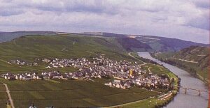 less than 10 m
Place Names / Local History
Erste Erwähnung von Trittenheim
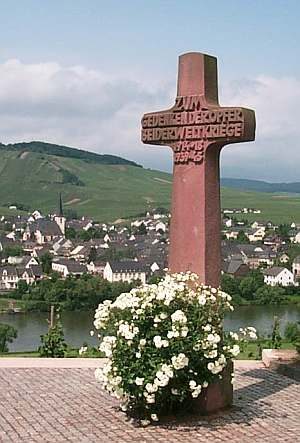 less than 10 m
War Memorials
Kriegerdenkmal
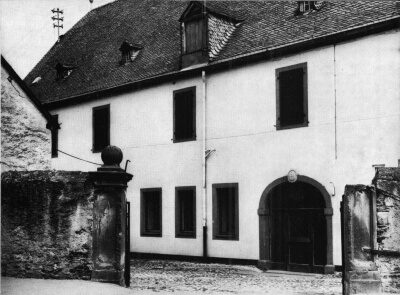 less than 10 m
Farmhouses and Farm Buildings
Sogenanntes Moselkloster
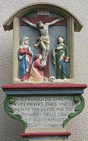 50 m
Wayside Shrines and Stations of the Cross
Bildstock - Jesus stirbt am Kreuze
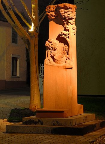 50 m
Monuments
Stefan-Andres-Denkmal
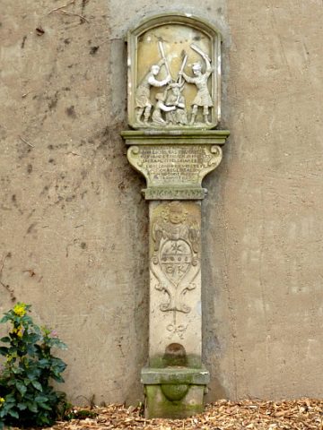 80 m
Wayside Shrines and Stations of the Cross
Bildstock - Dornenkrönung
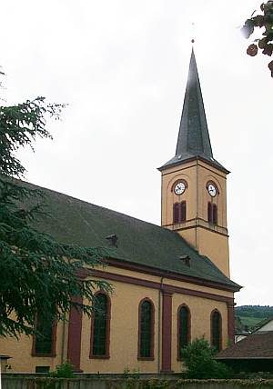 90 m
Catholic Churches
Sankt Clemens
Farmhouses and Farm Buildings