Wayside Shrines and Stations of the Cross · Baroque / Rococo
Wegekreuz
- Listed monument


© GeoBasis-DE / LVermGeoRP, dl-de/by-2-0
There is no picture of this object yet. Do you have a photo that you would like to make available to the Kulturdatenbank? Submit a picture
Description
This description is only available in German.
Translate with Google opens this page in Google Translate (external service)
Wegekreuz an der B 53 nordwestlich von Kloster Machern, bei der Abzweigung der Auffahrt zum Gehöft Altmachern. Barockes Schaftkreuz, 18. Jahrhundert. [1]
Classification
- Subject area
- Architectural and Art Monuments
- Category
- Religious Buildings
- Object type
- Wayside Shrines and Stations of the Cross
- Date
- 18. Jahrhundert
- Period
- Baroque / Rococo
Location
- District
- Bernkastel-Wittlich
- Town
- Bernkastel-Kues
- Locality / location
- Altmachern
- Field name
- Altmachern
- Coordinates
- WGS 84: 49.957515, 6.999189 (Position: exact) WGS 84: 49° 57′ 27.1″ N, 6° 59′ 57.1″ E UTM 32 (ETRS89): E 356486 · N 5535826
Sources
Data sources
- [1] Denkmalliste des Landkreises Bernkastel-Wittlich, Juni 2008. Kreisverwaltung Bernkastel-Wittlich, Fachbereich Beraten, Planen, Fördern. Postfach 1420, 54504 Wittlich.
On the internet
Last edited: 15 Feb 2026 Object ID: 15441
https://kulturdb.de/en/objekt/15441-bernkastel-kues-wegekreuz
Nearby
The nearest objects
Lime Kilns
Ehemaliger Kalkofen
Deserted Settlements
Ehemaliger Hof Altmachern
Vineyard Sites
Abtei
Vineyard Sites
Abtei
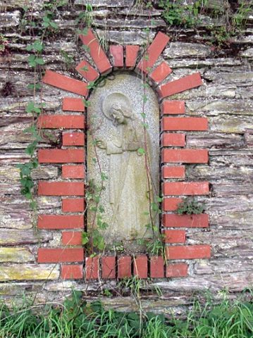 260 m
Wayside Shrines and Stations of the Cross
Bildnische in Weinbergsmauer
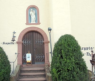 350 m
Pilgrimage Sites
Corneliuskapelle
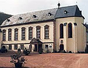 350 m
Catholic Churches
Ehemalige Klosterkirche Sankt Maria
Railways