War Memorials · 20th Century
Kriegerdenkmal des Ersten Weltkriegs
- Listed monument


© GeoBasis-DE / LVermGeoRP, dl-de/by-2-0
There is no picture of this object yet. Do you have a photo that you would like to make available to the Kulturdatenbank? Submit a picture
Description
This description is only available in German.
Translate with Google opens this page in Google Translate (external service)
Donatusstraße, an der Abzweigung Kirchgasse. [1]
Classification
- Subject area
- Architectural and Art Monuments
- Category
- Markers and Monuments
- Object type
- War Memorials
- Date
- Nach 1918
- Period
- 20th Century
Location
- District
- Bernkastel-Wittlich
- Collective municipality
- Wittlich-Land
- Municipality
- Niederöfflingen
- Street
- Donatusstraße
- Field name
- Ortslage
- Coordinates
- WGS 84: 50.058773, 6.887557 (Position: exact) WGS 84: 50° 03′ 31.6″ N, 6° 53′ 15.2″ E UTM 32 (ETRS89): E 348798 · N 5547303
Sources
Data sources
- [1] Denkmalliste des Landkreises Bernkastel-Wittlich, Juni 2008. Kreisverwaltung Bernkastel-Wittlich, Fachbereich Beraten, Planen, Fördern. Postfach 1420, 54504 Wittlich.
On the internet
Last edited: 5 Nov 2008 Object ID: 15493
https://kulturdb.de/en/objekt/15493-niederoefflingen-kriegerdenkmal-des-ersten-weltkriegs
Nearby
The nearest objects
Catholic Churches
Sankt Edeltrudis
Fountains and Wells
Dorfbrunnen
Jewish History
Jüdische Geschichte
Wayside Shrines and Stations of the Cross
Wegekreuz
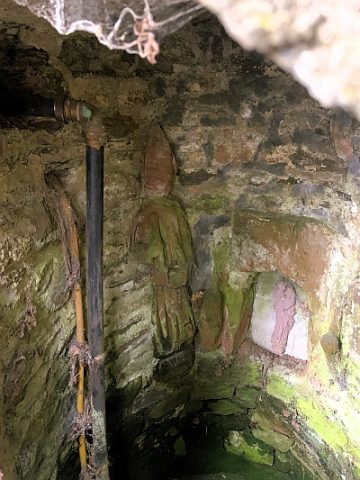 280 m
Fountains and Wells
Brunnen an der Edeltrudiskapelle
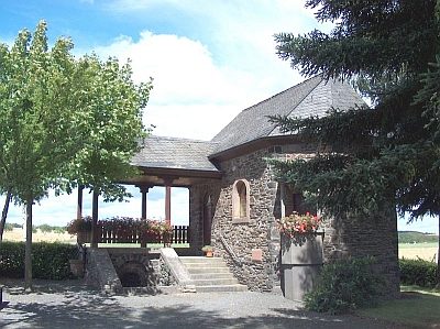 290 m
Chapels
Edeltrudiskapelle
Wayside Shrines and Stations of the Cross
Wegekreuz
Wayside Shrines and Stations of the Cross