Wayside Shrines and Stations of the Cross · Historicism / Art Nouveau
Wegekreuz nördlich der Ortslage
- Listed monument

Description
This description is only available in German.
Translate with Google opens this page in Google Translate (external service)
Wegekreuz nördlich der Ortslage am gegenüberliegenden Moselufer, an der Straße zwischen Graach und Zeltingen-Rachtig. Balkenkreuz in gotisierenden Formen, am Sockel bezeichnet 1851. [1]
Classification
- Subject area
- Architectural and Art Monuments
- Category
- Religious Buildings
- Object type
- Wayside Shrines and Stations of the Cross
- Date
- 1851
Location
- District
- Bernkastel-Wittlich
- Collective municipality
- Bernkastel-Kues
- Municipality
- Zeltingen-Rachtig
- Locality / location
- Rachtig
- Field name
- Auf dem Berg
- Coordinates
- WGS 84: 49.953280, 7.027100 (Position: exact) WGS 84: 49° 57′ 11.8″ N, 7° 01′ 37.6″ E UTM 32 (ETRS89): E 358476 · N 5535302
Sources
Data sources
- [1] Denkmalliste des Landkreises Bernkastel-Wittlich, Juni 2008. Kreisverwaltung Bernkastel-Wittlich, Fachbereich Beraten, Planen, Fördern. Postfach 1420, 54504 Wittlich.
On the internet
Picture credits
- Picture 1: © Manfred Knapp, Nohfelden, 2016.
Last edited: 22 Apr 2016 Object ID: 15587
https://kulturdb.de/en/objekt/15587-zeltingen-rachtig-wegekreuz-noerdlich-der-ortslage
Nearby
The nearest objects
Viewpoints
Aussichtspunkt
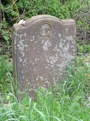 170 m
Jewish Cemeteries
Alter jüdischer Friedhof
Vineyard Sites
Sonnenuhr
Wayside Shrines and Stations of the Cross
Wegekreuz
Vineyard Sites
Burg
Field Names
Im Kalk
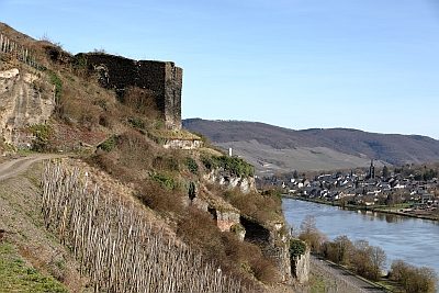 260 m
Castles
Ruine der Kunibertsburg
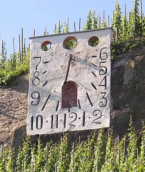 280 m
Surveying