War Memorials · 20th Century
Kriegerdenkmal des Ersten Weltkriegs
- Listed monument


© GeoBasis-DE / LVermGeoRP, dl-de/by-2-0
There is no picture of this object yet. Do you have a photo that you would like to make available to the Kulturdatenbank? Submit a picture
Description
This description is only available in German.
Translate with Google opens this page in Google Translate (external service)
Kriegerdenkmal des Ersten Weltkriegs, bestehend aus Sockel, Rundpfeiler und Engelsfigur. Nach dem Zweiten Weltkrieg um die seitlichen Tafeln erweitert. [1]
Classification
- Subject area
- Architectural and Art Monuments
- Category
- Markers and Monuments
- Object type
- War Memorials
- Date
- Nach 1918
- Period
- 20th Century
Location
- District
- Bernkastel-Wittlich
- Collective municipality
- Wittlich-Land
- Municipality
- Laufeld
- Field name
- Unter dem Hauweg
- Coordinates
- WGS 84: 50.079315, 6.861531 (Position: exact) WGS 84: 50° 04′ 45.5″ N, 6° 51′ 41.5″ E UTM 32 (ETRS89): E 347001 · N 5549640
Sources
Data sources
- [1] Denkmalliste des Landkreises Bernkastel-Wittlich, Juni 2008. Kreisverwaltung Bernkastel-Wittlich, Fachbereich Beraten, Planen, Fördern. Postfach 1420, 54504 Wittlich.
On the internet
Last edited: 21 Jun 2009 Object ID: 15590
https://kulturdb.de/en/objekt/15590-laufeld-kriegerdenkmal-des-ersten-weltkriegs
Nearby
The nearest objects
War Memorials
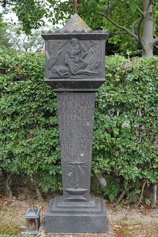
Friedhofskreuz
 20 m
Burial Sites
Grabdenkmal für Philipp Klas
 40 m
Lime Trees
Alte Linde am Friedhof
 170 m
Catholic Churches
Sankt Willibrord
Rectories
Pfarrgarten
Rectories
Pfarrhaus
 330 m
Chapels
Kapelle am Ortseingang
350 m
Lime Trees