Fountains and Wells · Neoclassicism
Laufbrunnen
- Listed monument


© GeoBasis-DE / LVermGeoRP, dl-de/by-2-0
There is no picture of this object yet. Do you have a photo that you would like to make available to the Kulturdatenbank? Submit a picture
Description
This description is only available in German.
Translate with Google opens this page in Google Translate (external service)
Bergstraße, an der Einmündung in die Trierer Straße. Laufbrunnen, 19. Jahrhundert. Brunnenstock mit achteckigem Querschnitt, klassizistisch. Einfaches rechteckiges Becken. [1]
Classification
- Subject area
- Architectural and Art Monuments
- Category
- Fountains and Wells
- Date
- 19. Jahrhundert
- Period
- Neoclassicism
Location
- District
- Bernkastel-Wittlich
- Collective municipality
- Wittlich-Land
- Municipality
- Platten
- Street
- Bergstraße
- Field name
- Ortslage
- Coordinates
- WGS 84: 49.948391, 6.949409 (Position: exact) WGS 84: 49° 56′ 54.2″ N, 6° 56′ 57.9″ E UTM 32 (ETRS89): E 352888 · N 5534908
Sources
Data sources
- [1] Denkmalliste des Landkreises Bernkastel-Wittlich, Juni 2008. Kreisverwaltung Bernkastel-Wittlich, Fachbereich Beraten, Planen, Fördern. Postfach 1420, 54504 Wittlich.
On the internet
Last edited: 12 Aug 2008 Object ID: 15727
https://kulturdb.de/en/objekt/15727-platten-laufbrunnen
Nearby
The nearest objects
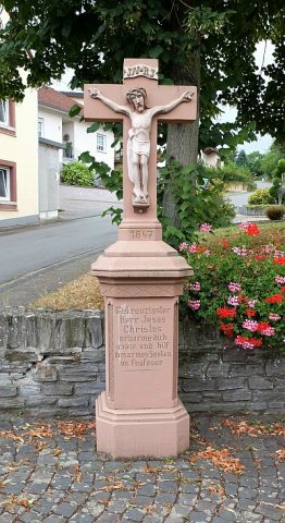 less than 10 m
Wayside Shrines and Stations of the Cross
Wegekreuz
 110 m
Field Names
Im Haargarten
Field Names
Olkenpesch
Field Names
Grundpesch
Railways
Ehemaliger Bahnhof Platten
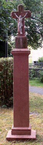 220 m
Wayside Shrines and Stations of the Cross
Wegekreuz
Mills
Gemeindemühle an der Lieser
Mills