Wayside Shrines and Stations of the Cross · Renaissance
Kreuzigungsbildstock
- Listed monument


Description
This description is only available in German.
Translate with Google opens this page in Google Translate (external service)
Das Sandsteinkreuz steht an der Landesstraße am Aufgang zur Turnierwiese. Kreuzigungsbildstock aus rotem Sandstein, bezeichnet 1680. Abschlußkreuz neu. [1]
Classification
- Subject area
- Architectural and Art Monuments
- Category
- Religious Buildings
- Object type
- Wayside Shrines and Stations of the Cross
- Date
- 1680
- Period
- Renaissance
Location
- District
- Bernkastel-Wittlich
- Collective municipality
- Wittlich-Land
- Locality / location
- Niedermanderscheid
- Street
- Niedermanderscheider Straße 1
- Field name
- Unterm Kohlenbereg
- Coordinates
- WGS 84: 50.090998, 6.817483 (Position: exact) WGS 84: 50° 05′ 27.6″ N, 6° 49′ 02.9″ E UTM 32 (ETRS89): E 343887 · N 5551030
Sources
Data sources
- [1] Denkmalliste des Landkreises Bernkastel-Wittlich, Juni 2008. Kreisverwaltung Bernkastel-Wittlich, Fachbereich Beraten, Planen, Fördern. Postfach 1420, 54504 Wittlich und Friedbert Wißkirchen, Daun, 2009
On the internet
Picture credits
Last edited: 12 Apr 2009 Object ID: 15863
https://kulturdb.de/en/objekt/15863-manderscheid-bernkastel-wittlich-kreuzigungsbildstock
Nearby
The nearest objects
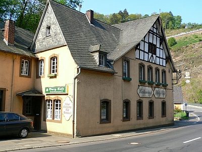 less than 10 m
Catering, Inns and Hotels
Gasthaus
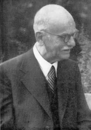 20 m
Chartered Towns
Stadtrechte Niedermanderscheid
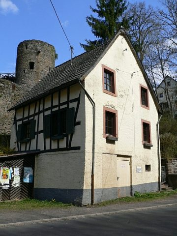 30 m
Farmhouses and Farm Buildings
Wohnhaus
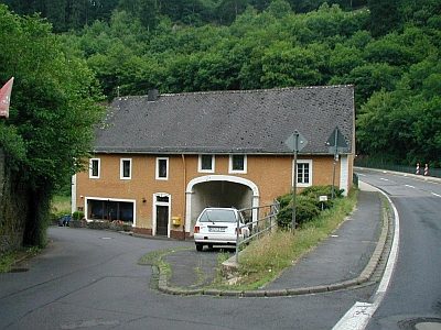 40 m
Mills
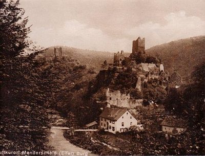
Torfahrthaus (1)
 40 m
Mills
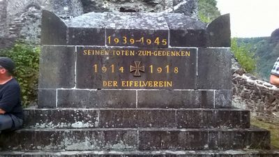
Torfahrthaus (2)
 50 m
War Memorials
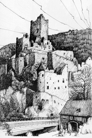
Ruine der Niederburg - Kriegerdenkmal
 60 m
Castles
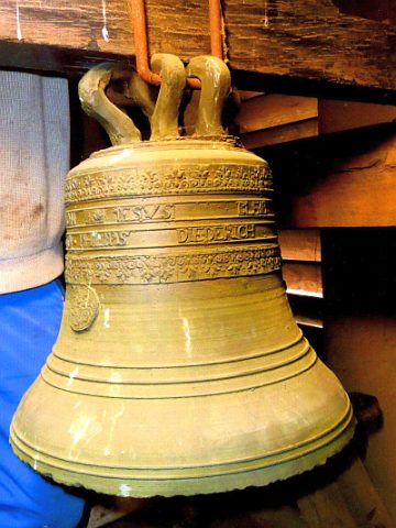
Ruine der Niederburg
 60 m
Chapels