Farmhouses and Farm Buildings · Baroque / Rococo
Wohnhaus
- Listed monument


© GeoBasis-DE / LVermGeoRP, dl-de/by-2-0
There is no picture of this object yet. Do you have a photo that you would like to make available to the Kulturdatenbank? Submit a picture
Description
This description is only available in German.
Translate with Google opens this page in Google Translate (external service)
Traufständiger Bau von tiefrechteckigem Grundriß. Das Erdgeschoß massiv, am Oberlichteingang bezeichnet 1750, sonst gut erhaltenes Sichtfachwerk, vielleicht älter. [1]
Classification
- Subject area
- Architectural and Art Monuments
- Category
- Residential and Farm Buildings
- Object type
- Farmhouses and Farm Buildings
- Date
- 1750
- Period
- Baroque / Rococo
Location
- District
- Bernkastel-Wittlich
- Collective municipality
- Bernkastel-Kues
- Municipality
- Brauneberg
- Street
- Hauptstraße 136
- Field name
- Unter der Borrgaß
- Coordinates
- WGS 84: 49.909008, 6.986349 (Position: exact) WGS 84: 49° 54′ 32.4″ N, 6° 59′ 10.9″ E UTM 32 (ETRS89): E 355420 · N 5530458
Sources
Data sources
- [1] Denkmalliste des Landkreises Bernkastel-Wittlich, Juni 2008. Kreisverwaltung Bernkastel-Wittlich, Fachbereich Beraten, Planen, Fördern. Postfach 1420, 54504 Wittlich.
On the internet
Last edited: 22 Aug 2008 Object ID: 16013
https://kulturdb.de/en/objekt/16013-brauneberg-wohnhaus
Nearby
The nearest objects
Farmhouses and Farm Buildings
Wohnhaus
Farmhouses and Farm Buildings
Wohnhaus
Farmhouses and Farm Buildings
Wohnhaus
Catering, Inns and Hotels
Gasthof Zur Grafschaft
Farmhouses and Farm Buildings
Quereinhaus
 80 m
Synagogues
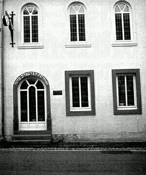
Ehemalige Synagoge
Farmhouses and Farm Buildings
Wohnhaus
Farmhouses and Farm Buildings