Catering, Inns and Hotels · 21st Century
Brauhaus Kloster Machern


© GeoBasis-DE / LVermGeoRP, dl-de/by-2-0
There is no picture of this object yet. Do you have a photo that you would like to make available to the Kulturdatenbank? Submit a picture
Classification
- Subject area
- Architectural and Art Monuments
- Category
- Economy, Trade and Transport
- Object type
- Catering, Inns and Hotels
- Date
- 01.05.2004
- Period
- 21st Century
Location
- District
- Bernkastel-Wittlich
- Town
- Bernkastel-Kues
- Locality / location
- Machern
- Street
- An der Zeltinger Brücke
- Field name
- Machern
- Coordinates
- WGS 84: 49.954495, 7.001730 (Position: exact) WGS 84: 49° 57′ 16.2″ N, 7° 00′ 06.2″ E UTM 32 (ETRS89): E 356660 · N 5535485
Sources
Data sources
On the internet
Last edited: 8 Sep 2008 Object ID: 16292
https://kulturdb.de/en/objekt/16292-bernkastel-kues-brauhaus-kloster-machern
Nearby
The nearest objects
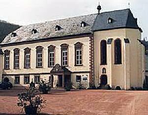 10 m
Monastic Complexes
Ehemaliges Zisterzienserinnenkloster
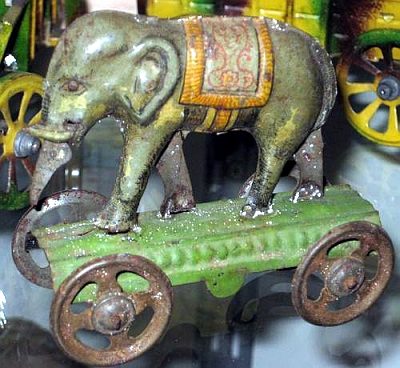 10 m
Museums
Historisches Spielzeug-, Puppen- und Ikonenmuseum
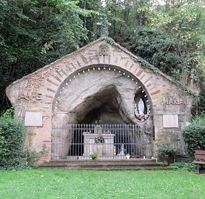 30 m
Marian Grottoes
Mariengrotte
30 m
Catholic Churches
Ehemalige Klosterkirche Sankt Maria
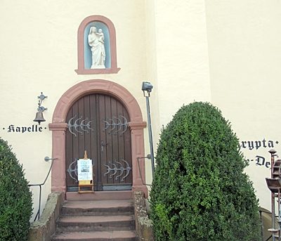 40 m
Pilgrimage Sites
Corneliuskapelle
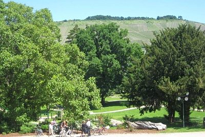 90 m
Parish and Monastery Gardens
Klostergarten
No picture
90 m
Lime Kilns
Ehemaliger Kalkofen
No picture
100 m
Extraction and Processing of Raw Materials