Ironworks · Undated
Ehemalige Eisenschmelze Röderbach


© GeoBasis-DE / LVermGeoRP, dl-de/by-2-0
There is no picture of this object yet. Do you have a photo that you would like to make available to the Kulturdatenbank? Submit a picture
Classification
- Subject area
- Architectural and Art Monuments
- Category
- Economy, Trade and Transport
- Object type
- Ironworks
- Date
- Undatiert
- Period
- Undated
Location
- District
- Bernkastel-Wittlich
- Collective municipality
- Thalfang am Erbeskopf
- Municipality
- Malborn
- Field name
- Auf der Röderbach
- Coordinates
- WGS 84: 49.721524, 7.025216 (Position: exact) WGS 84: 49° 43′ 17.5″ N, 7° 01′ 30.8″ E UTM 32 (ETRS89): E 357662 · N 5509541
Sources
Data sources
- Willi Schmitt und Kurt Bach: Malborn – Ein Hochwalddorf und seine Geschichte. Hrsg.: Gemeinde Malborn, 1981.
On the internet
Last edited: 20 Apr 2014 Object ID: 16306
https://kulturdb.de/en/objekt/16306-malborn-ehemalige-eisenschmelze-roederbach
Nearby
The nearest objects
No picture
50 m
Field Names
Auf der Röderbach
No picture
520 m
Field Names
Röderbruch
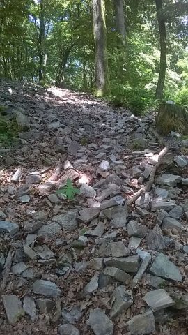 770 m
Ring Forts
Kleiner Hunnenring am Röderberg
No picture
780 m
Field Names
Unter der Weislochswies
No picture
800 m
Field Names
Weislochswies
No picture
920 m
Beeches
Dicke Buche bei Malborn
No picture
1.1 km
Field Names
Röderbruch
No picture
1.1 km
Viewpoints