Mills · Undated
Ehemalige Dahner-Mühle
Im Ourtal
- Listed monument


© GeoBasis-DE / LVermGeoRP, dl-de/by-2-0
There is no picture of this object yet. Do you have a photo that you would like to make available to the Kulturdatenbank? Submit a picture
Classification
- Subject area
- Architectural and Art Monuments
- Object type
- Mills
- Date
- Undatiert
- Period
- Undated
Location
- District
- Eifelkreis Bitburg-Prüm
- Collective municipality
- Arzfeld
- Municipality
- Dahnen
- Field name
- Unterm Mühlenberg
- Coordinates
- WGS 84: 50.068212, 6.121519 (Position: exact) WGS 84: 50° 04′ 05.6″ N, 6° 07′ 17.5″ E UTM 32 (ETRS89): E 294015 · N 5550184
Sources
Data sources
- [1] Königlich Preußische Landesaufnahme 1:25.000 (Hrsg. 1895), Blatt 3394 Dasburg http://freepages.history.rootsweb.ancestry.com/~mlcarl/Qu/Karten/18…
On the internet
Last edited: 28 Oct 2008 Object ID: 16628
https://kulturdb.de/en/objekt/16628-dahnen-ehemalige-dahner-muehle
Nearby
The nearest objects
No picture
480 m
Fords
Furt durch die Our
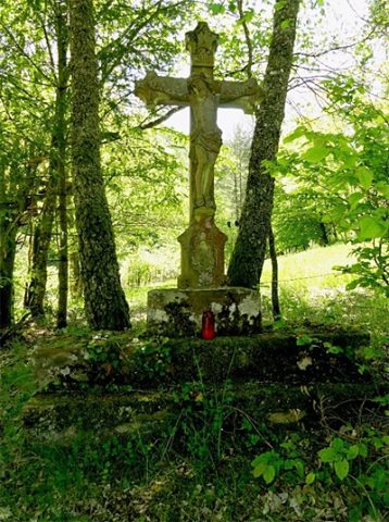 560 m
Wayside Shrines and Stations of the Cross
Wegekreuz
No picture
580 m
Mills
Ruine der ehemaligen Lorenzmühle
No picture
590 m
Field Names
Strohenauel
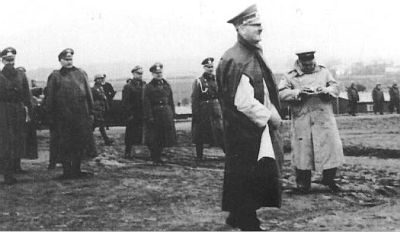 630 m
Fortresses and Bunkers
Westwall - Schartenstand
No picture
690 m
Vineyard Sites
Wingertsberg
No picture
710 m
Fortresses and Bunkers
Westwall - Schartenstand
No picture
720 m
Entrenchments