Farmhouses and Farm Buildings · Early Middle Ages / Romanesque
Greimerather Mühle


© GeoBasis-DE / LVermGeoRP, dl-de/by-2-0
There is no picture of this object yet. Do you have a photo that you would like to make available to the Kulturdatenbank? Submit a picture
Description
This description is only available in German.
Translate with Google opens this page in Google Translate (external service)
Mahlmühle, die schon 1144 urkundlich erwähnt ist. Bestand im Jahre 1478 schon nicht mehr. [1]
Classification
- Subject area
- Architectural and Art Monuments
- Category
- Residential and Farm Buildings
- Object type
- Farmhouses and Farm Buildings
- Date
- 1144
Location
- District
- Bernkastel-Wittlich
- Collective municipality
- Wittlich-Land
- Municipality
- Greimerath (Bernkastel-Wittlich)
- Locality / location
- Greimerath
- Field name
- Am Eulenberg
- Coordinates
- WGS 84: 50.043721, 6.900639 (Position: presumed) WGS 84: 50° 02′ 37.4″ N, 6° 54′ 02.3″ E UTM 32 (ETRS89): E 349687 · N 5545603
Sources
Data sources
- [1] Günter Hesse und Wolfgang Schmitt-Kölzer: Manderscheid. Hrsg.: Verbandsgemeinde Manderscheid 1986.
On the internet
Last edited: 1 Nov 2008 Object ID: 16633
https://kulturdb.de/en/objekt/16633-greimerath-bernkastel-wittlich-greimerather-muehle
Nearby
The nearest objects
Field Names
Breitwies
Field Names
Borrpesch
 500 m
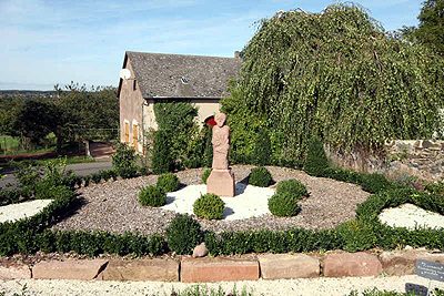
Parish and Monastery Gardens
Pfarr- und Kräutergarten
 500 m
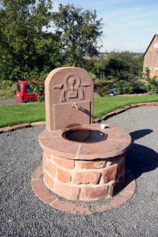
Fountains and Wells
Brunnen im Pfarr- und Kräutergarten
 510 m
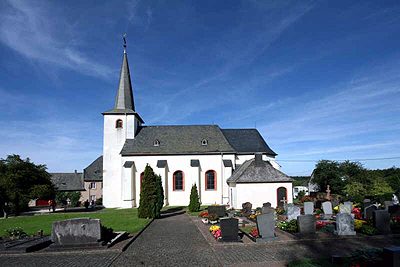
Catholic Churches
Kirche Sankt Georg
 510 m
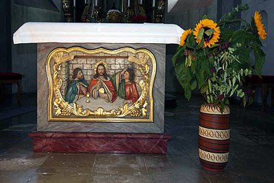
Altars
Kirche Sankt Georg - Altar
Field Names
Aufm Kellerrech
Field Names