Mills · Gothic
Niederscheidweiler Mühle


© GeoBasis-DE / LVermGeoRP, dl-de/by-2-0
There is no picture of this object yet. Do you have a photo that you would like to make available to the Kulturdatenbank? Submit a picture
Description
This description is only available in German.
Translate with Google opens this page in Google Translate (external service)
Mahl- und Ölmühle an der Alf. Erstmalig erwähnt 1499. Mahlbetrieb bis 1942/43. [1]
Classification
- Subject area
- Architectural and Art Monuments
- Object type
- Mills
- Date
- 1499
- Period
- Gothic
Location
- District
- Bernkastel-Wittlich
- Collective municipality
- Wittlich-Land
- Municipality
- Niederscheidweiler
- Field name
- Bei Schmitt Johanneswies
- Coordinates
- WGS 84: 50.063060, 6.963290 (Position: exact) WGS 84: 50° 03′ 47.0″ N, 6° 57′ 47.8″ E UTM 32 (ETRS89): E 354231 · N 5547629
Sources
Data sources
- [1] Günter Hesse und Wolfgang Schmitt-Kölzer: Manderscheid. Hrsg.: Verbandsgemeinde Manderscheid 1986.
- [2] Topographische Karte 5907 von 1886.
On the internet
Last edited: 4 Jun 2020 Object ID: 16640
https://kulturdb.de/en/objekt/16640-niederscheidweiler-niederscheidweiler-muehle
Nearby
The nearest objects
Rocks
Sprinker Lavastrom
Field Names
Auf der Breitwies
Chapels
Kapelle
 600 m
Extraction and Processing of Raw Materials
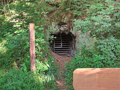
Eisenerz-Suchstollen bei der Grundwies
Viewpoints
Aussichtspunkt Essen-Berg
Field Names
Untere Krummwies
Mills
Hontheimer Mühle im Alftal
Field Names