Street Names · Historicism / Art Nouveau
Langmauer


© GeoBasis-DE / LVermGeoRP, dl-de/by-2-0
There is no picture of this object yet. Do you have a photo that you would like to make available to the Kulturdatenbank? Submit a picture
Description
This description is only available in German.
Translate with Google opens this page in Google Translate (external service)
Der Name (1889 noch "Hinter der Mauer") bezieht sich auf den langgestreckten südlichen Mauerzug der Stadtbefestigung, dem die Straße auf seiner Innenseite folgte. Zur ältesten Bausubstanz gehören die beiden auf ihrem Türsturz datierten Häuser Nr. 1 (1851) und Nr. 2 (1852).
Classification
- Subject area
- History
- Category
- Place Names / Local History
- Object type
- Street Names
- Date
- Circa 1850 bis 1920
Location
- District
- Eifelkreis Bitburg-Prüm
- Collective municipality
- Bitburger Land
- Municipality
- Dudeldorf
- Street
- Langmauer
- Field name
- Ortslage
- Coordinates
- WGS 84: 49.973645, 6.636804 (Position: exact) WGS 84: 49° 58′ 25.1″ N, 6° 38′ 12.5″ E UTM 32 (ETRS89): E 330552 · N 5538377
Sources
Data sources
- Homepage der Initiative Region Trier e.V. Sehen & Erleben - Bau-Denkmäler http://www.regiontrier.de/cgi/bin
On the internet
Last edited: 7 Dec 2008 Object ID: 16698
https://kulturdb.de/en/objekt/16698-dudeldorf-langmauer
Nearby
The nearest objects
Farmhouses and Farm Buildings
Spätbarockes Ackerbürgerhaus
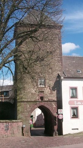 40 m
Town Fortifications
Obertor der Stadtbefestigung
Farmhouses and Farm Buildings
Dreigeschossiges Eckwohnhaus
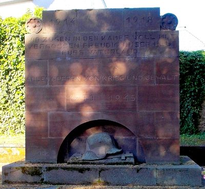 50 m
War Memorials
Kriegerdenkmal beider Weltkriege
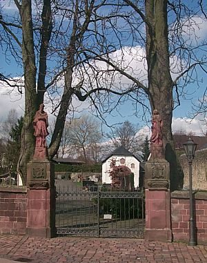 70 m
Christian Cemeteries
Friedhof
 80 m
Chartered Towns
Stadtrechte
Town Fortifications
Burg Dudeldorf - Reste der Stadtbefestigung
Farmhouses and Farm Buildings