Wayside Shrines and Stations of the Cross · Undated
Kreuzweg mit 14 Stationen (14)


© GeoBasis-DE / LVermGeoRP, dl-de/by-2-0
There is no picture of this object yet. Do you have a photo that you would like to make available to the Kulturdatenbank? Submit a picture
Description
This description is only available in German.
Translate with Google opens this page in Google Translate (external service)
Zwischen der Gemeinde Pantenburg und der Pfarrstelle Buchholz befindet sich ein Kreuzweg mit 14 Stationen, mit Motiven von der VeRuhrteilung Christi bis zur Grablegung, einschließlich Gebetstexten. [1]
Classification
- Subject area
- Architectural and Art Monuments
- Category
- Religious Buildings
- Object type
- Wayside Shrines and Stations of the Cross
- Date
- Undatiert
- Period
- Undated
Location
- District
- Bernkastel-Wittlich
- Collective municipality
- Wittlich-Land
- Municipality
- Pantenburg
- Locality / location
- Buchholz
- Field name
- Unter Buchholz
- Coordinates
- WGS 84: 50.099132, 6.836630 (Position: exact) WGS 84: 50° 05′ 56.9″ N, 6° 50′ 11.9″ E UTM 32 (ETRS89): E 345283 · N 5551894
Sources
Data sources
- [1] Elisabeth Steffes: Bildstöcke, Wegekreuze und Heiligenhäuschen in der Verbandsgemeinde Manderscheid/Vulkaneifel , 1993.
On the internet
pfarreiengemeinschaft-manderscheid.de/Buchholz/Buchholz-Historie.html
Last edited: 18 Dec 2008 Object ID: 16732
https://kulturdb.de/en/objekt/16732-pantenburg-kreuzweg-mit-14-stationen-14
Nearby
The nearest objects
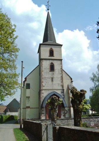 20 m
Monastic Complexes
Ehemaliges Kloster Buchholz
Wayside Shrines and Stations of the Cross
Kreuzweg mit 14 Stationen (13)
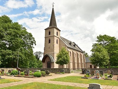 40 m
Catholic Churches
Ehemaliges Kloster Buchholz - Sankt Visitationis
Viewpoints
Aussichtspunkt Klosterkirche Buchholz
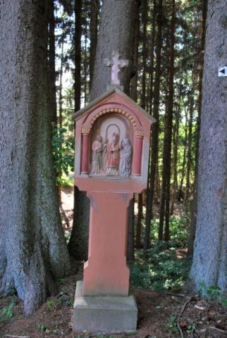 50 m
Wayside Shrines and Stations of the Cross
Bildstockweg (5)
50 m
Wayside Shrines and Stations of the Cross
Erinnerungskreuz
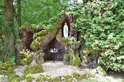 50 m
Marian Grottoes
Ehemaliges Kloster Buchholz - Lourdesgrotte
80 m
Wayside Shrines and Stations of the Cross