Place Names / Local History · Celtic / Roman Period
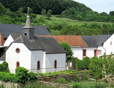
Ortsgeschichte Wettlingen

Description
This description is only available in German.
Translate with Google opens this page in Google Translate (external service)
Im östlichen Bereich der Gemarkung, übergreifend auf Bettinger und Ingendorfer Bann, befindet sich eine größere römische Siedlungsfläche; ebenso im Bereich Welter und Jeschen. Von besonderer Bedeutung auch 20 Gräber aus der Frankenzeit. Um 1200 gelangt Wetelingen an das Trierer Domkapitel. Bis zur französischen Zeit steht der Ort als Teil der Herrschaft Bettingen unter luxemburgischer Landeshoheit.
Classification
- Subject area
- History
- Category
- Place Names / Local History
- Date
- Circa 500 vor Chr. bis circa 500 nach Chr.
- Period
- Celtic / Roman Period
Location
- District
- Eifelkreis Bitburg-Prüm
- Collective municipality
- Bitburger Land
- Municipality
- Wettlingen
- Field name
- Ortslage
- Coordinates
- WGS 84: 49.929867, 6.405403 (Position: within the village) WGS 84: 49° 55′ 47.5″ N, 6° 24′ 19.5″ E UTM 32 (ETRS89): E 313793 · N 5534060
Sources
Data sources
- © 1998 by ICTeam Internet Consulting GmbH and Silyn-Tek
On the internet
bitburgerland.de/index.php?id=493
Picture credits
- Picture 1: http://www.ngw.nl/int/dld/w/wettling.htm
Last edited: 5 Sep 2005 Object ID: 1694
https://kulturdb.de/en/objekt/1694-wettlingen-ortsgeschichte-wettlingen
Nearby
The nearest objects
 less than 10 m
Settlements
Römische Siedlungsreste
 less than 10 m
Coats of Arms
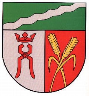
Wappen der Gemeinde Wettlingen
 less than 10 m
Farmhouses and Farm Buildings
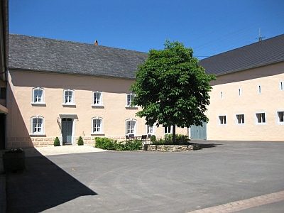
Winkelhof - Haus Nr. 14
 50 m
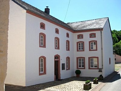
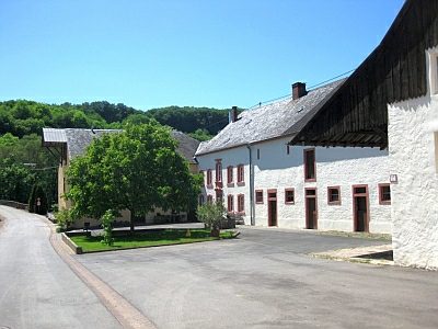
Farmhouses and Farm Buildings
Gehöft von 1786
 50 m
Farmhouses and Farm Buildings
Wohnhaus
 80 m
Catholic Churches
Sankt Agatha
Roman Tombs
Fragment eines römischen Steinmonumentes
 80 m
Catholic Churches