Town Houses and Commercial Buildings · Renaissance
Wohnhaus
- Listed monument


© GeoBasis-DE / LVermGeoRP, dl-de/by-2-0
There is no picture of this object yet. Do you have a photo that you would like to make available to the Kulturdatenbank? Submit a picture
Description
This description is only available in German.
Translate with Google opens this page in Google Translate (external service)
Wohnhaus, im Kern wohl aus dem 17. Jahrhundert, im späten 18. Jahrhundert verändert oder wiederaufgebaut (Dachstuhl datiert 1774), über älteren Kellern. [1]
Classification
- Subject area
- Architectural and Art Monuments
- Category
- Residential and Farm Buildings
- Object type
- Town Houses and Commercial Buildings
- Date
- 17. Jahrhundert
- Period
- Renaissance
Location
- District
- City of Trier
- Collective municipality
- Verbandsfreie Gemeinde Trier
- Town
- Trier
- Locality / location
- Trier-Süd
- Street
- Saarstraße 117
- Field name
- Ortslage
- Coordinates
- WGS 84: 49.743592, 6.634645 (Position: exact) WGS 84: 49° 44′ 36.9″ N, 6° 38′ 04.7″ E UTM 32 (ETRS89): E 329590 · N 5512808
Sources
Data sources
- [1] Denkmalliste der Generaldirektion Kulturelles Erbe, Rheinland-Pfalz; 2010.
On the internet
Last edited: 16 Feb 2011 Object ID: 16999
https://kulturdb.de/en/objekt/16999-trier-sued-wohnhaus
Nearby
The nearest objects
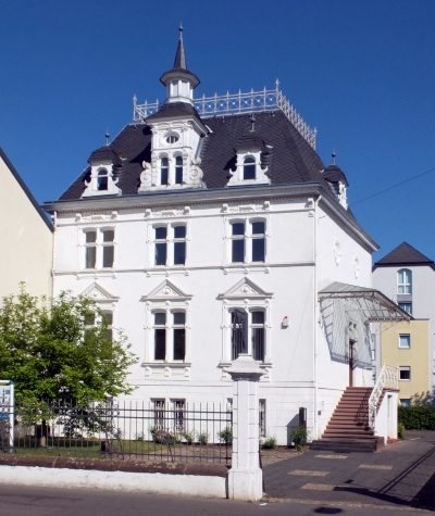 20 m
Town Houses and Commercial Buildings
Wohnhaus
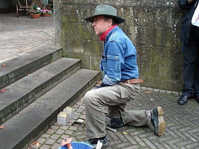 30 m
Stolpersteine (Stumbling Stones)
Stolperstein für Cornelius Schneider
 40 m
Street Names
Heiligkreuzer Straße
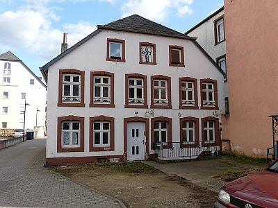 40 m
Town Houses and Commercial Buildings
Haus Saarstraße 127
 50 m
Town Houses and Commercial Buildings
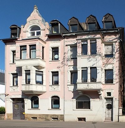
Etagenmietshäuser
 70 m
Town Houses and Commercial Buildings
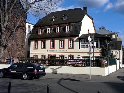
Barockvilla
 70 m
Town Houses and Commercial Buildings
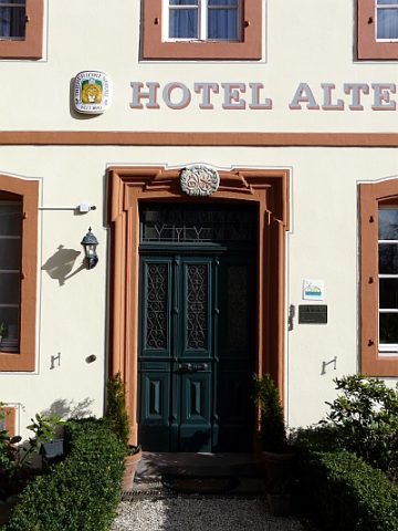
Barockvilla - Portal
 80 m
Vineyard Sites