Settlements · Celtic / Roman Period
Römische Siedlungsreste

Description
This description is only available in German.
Translate with Google opens this page in Google Translate (external service)
Auf dem Koosbüsch wurde ein ausgedehntes Gräberfeld der Lathène-Zeit, letzte vorchristliche Jahrhunderte, ausgegraben. Römische Siedlungsreste im Bereich Hermesdorf und fränkische Gräberfunde in der Gemarkung Wißmannsdorf.
Classification
- Subject area
- Archaeological Monuments
- Category
- Settlements
- Object type
- Settlements
- Date
- Circa 500 vor Chr. bis circa 500 nach Chr.
- Period
- Celtic / Roman Period
Location
- District
- Eifelkreis Bitburg-Prüm
- Collective municipality
- Bitburger Land
- Municipality
- Wißmannsdorf
- Locality / location
- Koosbüsch
- Field name
- Unter dem Koosbüsch
- Coordinates
- WGS 84: 50.002261, 6.432362 (Position: exact) WGS 84: 50° 00′ 08.1″ N, 6° 25′ 56.5″ E UTM 32 (ETRS89): E 316004 · N 5542041
Sources
Data sources
- © 1998 by ICTeam Internet Consulting GmbH and Silyn-Tek
On the internet
bitburgerland.de/index.php?id=507
Picture credits
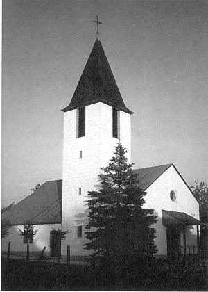
- Picture 1: © Lothar Monshausen, Fotostream http://www.flickr.com/photos/lomo56/tags/meteorite/
Last edited: 7 Oct 2003 Object ID: 1706
https://kulturdb.de/en/objekt/1706-wissmannsdorf-roemische-siedlungsreste
Nearby
The nearest objects
Burial Mounds
Grabhügel
Burial Mounds
Grabhügel
Wayside Shrines and Stations of the Cross
Wegekreuz
Field Names
Auf der Held
Burial Mounds
Römischer Bestattungsplatz
 460 m
Place Names / Local History
Ortsgeschichte Koosbüsch
Field Names
In der Held
Cremation Graves