Town Houses and Commercial Buildings · Undated
Wirtschaftsgebäude

Description
This description is only available in German.
Translate with Google opens this page in Google Translate (external service)
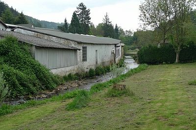
Liegt am Pfad, der von der Himmeroder Straße bis kurz vor die Landestraße 46 führt. [1]
Classification
- Subject area
- Architectural and Art Monuments
- Category
- Residential and Farm Buildings
- Object type
- Town Houses and Commercial Buildings
- Date
- Undatiert
- Period
- Undated
Location
- District
- Bernkastel-Wittlich
- Collective municipality
- Wittlich-Land
- Municipality
- Eisenschmitt
- Field name
- Auf Kochsberg
- Coordinates
- WGS 84: 50.043439, 6.722496 (Position: exact) WGS 84: 50° 02′ 36.4″ N, 6° 43′ 21.0″ E UTM 32 (ETRS89): E 336933 · N 5545945
Sources
Data sources
- [1] Uwe Widera, 54550 Daun, 2009.
On the internet
Picture credits
- Picture 1: © Uwe Widera, 54550 Daun, 2009.
Last edited: 11 Jun 2009 Object ID: 17218
https://kulturdb.de/en/objekt/17218-eisenschmitt-wirtschaftsgebaeude
Nearby
The nearest objects
No picture
30 m
Jewish History
Jüdische Geschichte
No picture
50 m
Mills
Untere Mühle
 70 m
Ironworks
Eisenhütte
No picture
80 m
Mills
Untere Mühle - Wehr
No picture
110 m
Farmhouses and Farm Buildings
Quereinhaus
No picture
120 m
Farmhouses and Farm Buildings
Wohnhaus
 150 m
Town Houses and Commercial Buildings
Lehrerwohnhaus
 150 m
Poplars