Lime Kilns · Historicism / Art Nouveau
Ehemalige Kalköfen

Classification
- Subject area
- Architectural and Art Monuments
- Category
- Economy, Trade and Transport
- Object type
- Lime Kilns
- Date
- 1912
Location
- District
- Bernkastel-Wittlich
- Collective municipality
- Wittlich-Land
- Municipality
- Schwarzenborn
- Field name
- Hinter dem Bohnenpesch
- Coordinates
- WGS 84: 50.036494, 6.711532 (Position: exact) WGS 84: 50° 02′ 11.4″ N, 6° 42′ 41.5″ E UTM 32 (ETRS89): E 336124 · N 5545197
Sources
Data sources
- [1] Preußische Kartenaufnahme 1:25 000 (1891 - 1912) Neuaufnahme
On the internet
freepages.history.rootsweb.ancestry.com/~mlcarl/Qu/Karten/1895/Manderscheid_3398.jpg
Picture credits
- Picture 1: Preußische Kartenaufnahme 1:25 000 (1891 - 1912) Neuaufnahme
Last edited: 11 Jun 2009 Object ID: 17221
https://kulturdb.de/en/objekt/17221-schwarzenborn-ehemalige-kalkoefen
Nearby
The nearest objects
No picture
60 m
Field Names
Hinter dem Bohnenpesch
No picture
120 m
Field Names
Unter den Kalköfen
No picture
210 m
Field Names
Bornwies
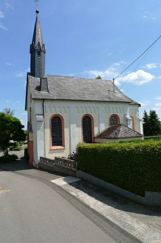 260 m
Catholic Churches
Sankt Martin
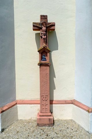 260 m
Wayside Shrines and Stations of the Cross
Nischenkreuz an der Kapelle
No picture
320 m
Catering, Inns and Hotels
Brauerei Zens
No picture
350 m
Field Names
Sauerwies
No picture
360 m
Surveying