Mineral Springs · Undated
Mineralquelle


© GeoBasis-DE / LVermGeoRP, dl-de/by-2-0
There is no picture of this object yet. Do you have a photo that you would like to make available to the Kulturdatenbank? Submit a picture
Classification
- Subject area
- Natural Features
- Category
- Springs
- Object type
- Mineral Springs
- Date
- Undatiert
- Period
- Undated
Location
- District
- Bernkastel-Wittlich
- Collective municipality
- Wittlich-Land
- Municipality
- Hetzerath
- Field name
- Im Kleinen Mühlenberg
- Coordinates
- WGS 84: 49.878343, 6.813578 (Position: within the village) WGS 84: 49° 52′ 42.0″ N, 6° 48′ 48.9″ E UTM 32 (ETRS89): E 342917 · N 5527397
Sources
Data sources
- [1] Dörfer der Verbandsgemeinde Wittlich-Land (Internet)
On the internet
Last edited: 7 Oct 2003 Object ID: 1725
https://kulturdb.de/en/objekt/1725-hetzerath-mineralquelle
Nearby
The nearest objects
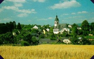 less than 10 m
Place Names / Local History
Ortsgeschichte Hetzerath
No picture
less than 10 m
Mineral Springs
Sauerbrunnen
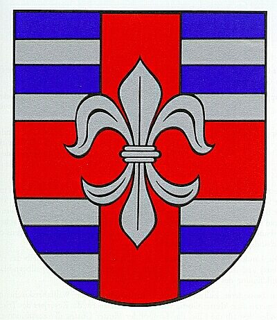 less than 10 m
Coats of Arms
Wappen der Gemeinde Hetzerath
No picture
50 m
Town Halls
Ehemalige Bürgermeisterei
No picture
50 m
Field Names
Werthchen
No picture
150 m
Field Names
Im Steinpesch
No picture
170 m
Jewish History
Jüdische Geschichte
No picture
210 m
Settlements