Wayside Shrines and Stations of the Cross · 20th Century
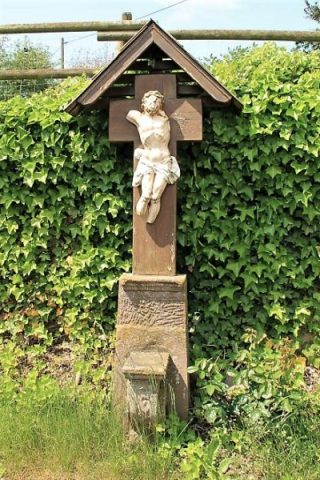
Unglückskreuz an der Straße nach Gindorf


© GeoBasis-DE / LVermGeoRP, dl-de/by-2-0
There is no picture of this object yet. Do you have a photo that you would like to make available to the Kulturdatenbank? Submit a picture
Description
This description is only available in German.
Translate with Google opens this page in Google Translate (external service)
Es handelt sich um ein Unglückskreuz, das 50 m vom Ortsrand entfernt aufgestellt wurde. Hier verunglückte 1936 der 14jährige Jakob Gierten als ihm die Pferde durchgingen. Er stürzte rückwärts in die Mähmaschine und wurde dabei getötet.
Classification
- Subject area
- Architectural and Art Monuments
- Category
- Religious Buildings
- Object type
- Wayside Shrines and Stations of the Cross
- Date
- Nach 1936
- Period
- 20th Century
Location
- District
- Eifelkreis Bitburg-Prüm
- Collective municipality
- Bitburger Land
- Municipality
- Oberkail
- Field name
- Auf der Hühl
- Coordinates
- WGS 84: 50.033769, 6.678817 (Position: exact) WGS 84: 50° 02′ 01.6″ N, 6° 40′ 43.7″ E UTM 32 (ETRS89): E 333772 · N 5544967
Sources
Data sources
- Erich Gerten, Jörg Kreutz und Claus Rech: "Oberkail Geschichte eines Dorfes in der südlichen Eifel" und Uwe Widera, 54550 Daun, 2009.
On the internet
Last edited: 21 Jun 2009 Object ID: 17250
https://kulturdb.de/en/objekt/17250-oberkail-unglueckskreuz-an-der-strasse-nach-gindorf
Nearby
The nearest objects
Lime Kilns
Ehemaliger Kalkofen
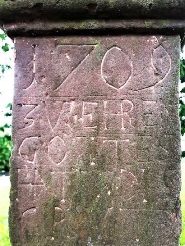 100 m
Wayside Shrines and Stations of the Cross
Schaftkreuz am südlichen Ortsrand
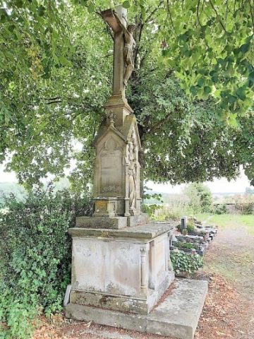 160 m
War Memorials
Neugotisches Friedhofskreuz
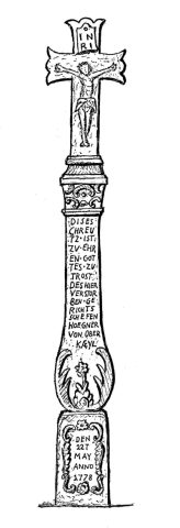 210 m
Wayside Shrines and Stations of the Cross
Spätbarockes Schaftkreuz (1)
 210 m
Wayside Shrines and Stations of the Cross
Spätbarockes Schaftkreuz (1)
Farmhouses and Farm Buildings
Wohnhaus
Farmhouses and Farm Buildings
Wohnhaus
 290 m
Wayside Shrines and Stations of the Cross