Altars · Undated
Altarkreuz ohne Inschrift


Description
This description is only available in German.
Translate with Google opens this page in Google Translate (external service)
Sein Standort wurde beim Straßenbau 1990 leicht verändert, es steht jetzt im Einmündungsbereich von Kuhberg und Meisburger Straße. [1]
Classification
- Subject area
- Architectural and Art Monuments
- Category
- Religious Buildings
- Object type
- Altars
- Date
- Undatiert
- Period
- Undated
Location
- District
- Eifelkreis Bitburg-Prüm
- Collective municipality
- Bitburger Land
- Municipality
- Oberkail
- Street
- Ecke Auf der Flips / Meisburger Straße
- Field name
- Kuhbergsgarten
- Coordinates
- WGS 84: 50.039457, 6.682519 (Position: exact) WGS 84: 50° 02′ 22.0″ N, 6° 40′ 57.1″ E UTM 32 (ETRS89): E 334057 · N 5545591
Sources
Data sources
- [1] Erich Gerten, Jörg Kreutz und Claus Rech: "Oberkail Geschichte eines Dorfes in der südlichen Eifel" und Uwe Widera, 54550 Daun, 2009.
On the internet
Picture credits
Last edited: 18 Dec 2010 Object ID: 17253
https://kulturdb.de/en/objekt/17253-oberkail-altarkreuz-ohne-inschrift
Nearby
The nearest objects
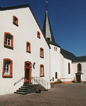 80 m
Field Names
Kuhbergsgarten
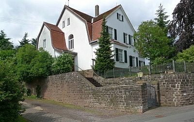 190 m
Forester's Lodges
Ehemaliges Arenbergisches Forsthaus
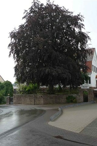 200 m
Beeches
Rotbuche (Blutbuche)
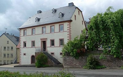 210 m
Farmhouses and Farm Buildings
Wohnhaus
 250 m
Wayside Shrines and Stations of the Cross
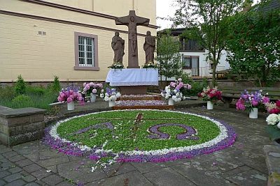
Kreuzigungsgruppe am Kailbach
 270 m
Manorial Residences and Estate Buildings
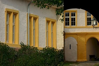
Ehemalige Burg Kail (7)
280 m
Manorial Residences and Estate Buildings
Ehemalige Burg Kail (9)
280 m
Manorial Residences and Estate Buildings