Burial Mounds · Celtic / Roman Period
Gräberfeld
- Listed monument


Description
This description is only available in German.
Translate with Google opens this page in Google Translate (external service)
Entlang der Bahnstrecke. [1]
Classification
- Subject area
- Archaeological Monuments
- Category
- Burials
- Object type
- Burial Mounds
- Date
- Circa 500 vor Chr. bis circa 500 nach Chr.
- Period
- Celtic / Roman Period
Location
- District
- City of Trier
- Collective municipality
- Verbandsfreie Gemeinde Trier
- Town
- Trier
- Locality / location
- Mitte-Gartenfeld
- Street
- Weimarer Allee
- Field name
- Ortslage
- Coordinates
- WGS 84: 49.750390, 6.646210 (Position: exact) WGS 84: 49° 45′ 01.4″ N, 6° 38′ 46.4″ E UTM 32 (ETRS89): E 330447 · N 5513537
Sources
Data sources
- [1] Archäologischer Stadtplan Trier. Hrsg. Rheinisches Landesmuseum Trier. Weimarer Allee 1. 54290 Trier. ISBN 3-923319-50-9 Online-Shop: www.landesmuseum-trier-shop.de
On the internet
Picture credits
Last edited: 7 Oct 2011 Object ID: 17349
https://kulturdb.de/en/objekt/17349-trier-graeberfeld
Nearby
The nearest objects
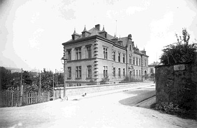 40 m
Town Houses and Commercial Buildings
Ehemaliger Obst-Mustergarten
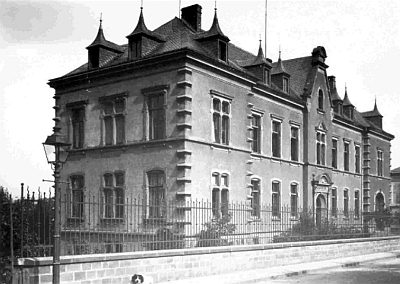 50 m
Town Houses and Commercial Buildings
Ehemalige Provinzial-Weinbauschule
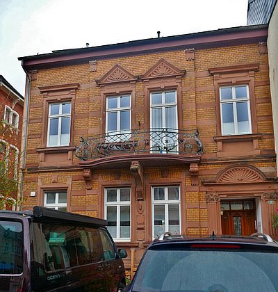 100 m
Town Houses and Commercial Buildings
Wohnhaus
No picture
110 m
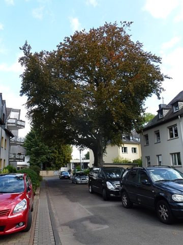
Beeches
Trauerbuche
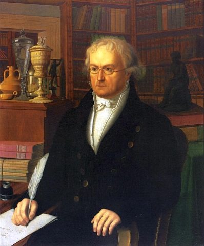 110 m
Street Names
Hermesstraße
 120 m
Deserted Settlements
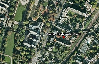
Castel, Kastel oder Castil
 120 m
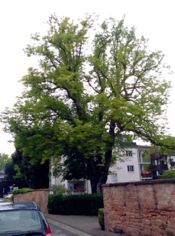
Chestnut Trees
Rosskastanie
 130 m
Chestnut Trees