Settlements · Celtic / Roman Period
Paläste westlich des Forums

Description
This description is only available in German.
Translate with Google opens this page in Google Translate (external service)
Auf dem Gelände des heutigen Humboldt-Gymnasiums.
Classification
- Subject area
- Archaeological Monuments
- Category
- Settlements
- Object type
- Settlements
- Date
- Circa 500 vor Chr. bis circa 500 nach Chr.
- Period
- Celtic / Roman Period
Location
- District
- City of Trier
- Collective municipality
- Verbandsfreie Gemeinde Trier
- Town
- Trier
- Locality / location
- Mitte-Gartenfeld
- Street
- Kaiserstraße / Hindenburgstraße
- Field name
- Ortslage
- Coordinates
- WGS 84: 49.751272, 6.634246 (Position: exact) WGS 84: 49° 45′ 04.6″ N, 6° 38′ 03.3″ E UTM 32 (ETRS89): E 329588 · N 5513663
Sources
Data sources
- Archäologischer Stadtplan Trier. Hrsg. Rheinisches Landesmuseum Trier. Weimarer Allee 1. 54290 Trier. ISBN 3-923319-50-9 Online-Shop: www.landesmuseum-trier-shop.de
On the internet
Picture credits
- Picture 1: Rheinisches Landesmuseum Trier (Foto: Thomas Zühmer) [CC BY-NC-SA] http://www.museum-digital.de/nat/singleimage.php?objektnum=59494&imagenr=73837
Last edited: 18 Jul 2009 Object ID: 17351
https://kulturdb.de/en/objekt/17351-trier-palaeste-westlich-des-forums
Nearby
The nearest objects
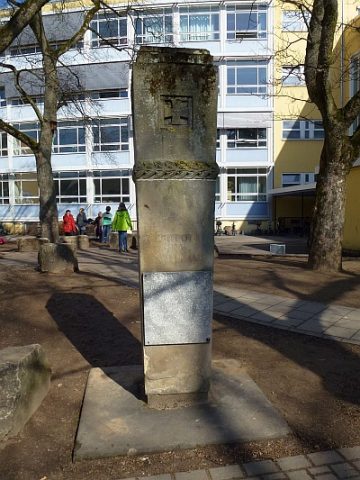 10 m
War Memorials
Kriegerdenkmal am Humboldt-Gymnasium
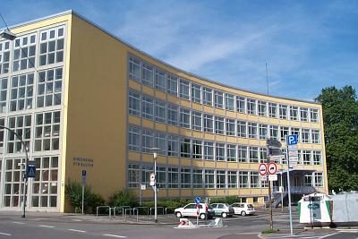 30 m
Schools
Humboldt-Gymnasium
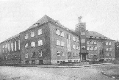 30 m
Schools
Ehemaliges Hindenburg-Gymnasium
 50 m
Market Towns
Ehemaliger Neumarkt
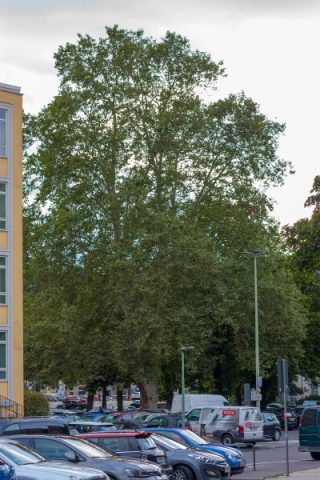 50 m
Plane Trees
Platane
 60 m
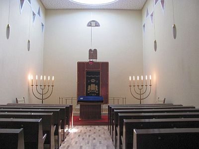
Synagogues
Synagoge - Innen (1)
 60 m
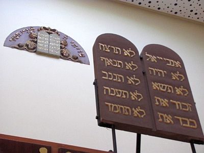
Synagogues
Synagoge - Innen (2)
 60 m
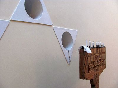
Synagogues