Settlements · Celtic / Roman Period
Forum

Classification
- Subject area
- Archaeological Monuments
- Category
- Settlements
- Object type
- Settlements
- Date
- Circa 500 vor Chr. bis circa 500 nach Chr.
- Period
- Celtic / Roman Period
Location
- District
- City of Trier
- Collective municipality
- Verbandsfreie Gemeinde Trier
- Town
- Trier
- Locality / location
- Mitte-Gartenfeld
- Street
- Kaiserstraße / Neustraße
- Field name
- Ortslage
- Coordinates
- WGS 84: 49.750791, 6.636751 (Position: exact) WGS 84: 49° 45′ 02.8″ N, 6° 38′ 12.3″ E UTM 32 (ETRS89): E 329767 · N 5513603
Sources
Data sources
- Archäologischer Stadtplan Trier. Hrsg. Rheinisches Landesmuseum Trier. Weimarer Allee 1. 54290 Trier. ISBN 3-923319-50-9 Online-Shop: www.landesmuseum-trier-shop.de
On the internet
Picture credits
- Picture 1: Rheinisches Landesmuseum Trier (Foto: Thomas Zühmer) [CC BY-NC-SA] http://www.museum-digital.de/nat/singleimage.php?objektnum=59494&imagenr=73837
Last edited: 18 Jul 2009 Object ID: 17352
https://kulturdb.de/en/objekt/17352-trier-forum
Nearby
The nearest objects
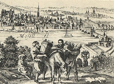 less than 10 m
Vineyard Sites
Neutor
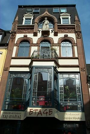 50 m
Town Houses and Commercial Buildings
Jugendstilhaus (1)
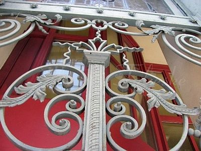 50 m
Town Houses and Commercial Buildings
Jugendstilhaus (2)
No picture
50 m
Town Houses and Commercial Buildings
Ehemaliges Bürgerhaus Neustraße 54
No picture
60 m
Recreation and Sports Facilities
Ehemaliges Badehaus
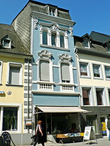 60 m
Town Houses and Commercial Buildings
Wohn- und Geschäftshaus
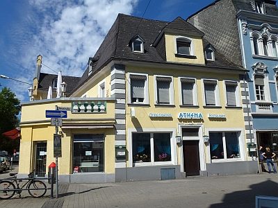 70 m
Town Houses and Commercial Buildings
Gebäude Neustraße 50
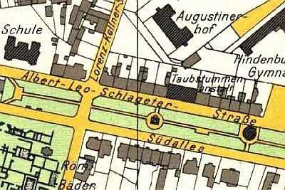 70 m
Street Names