Burial Mounds · Merovingian Period
Merowingische Körpergräber
- Listed monument


© GeoBasis-DE / LVermGeoRP, dl-de/by-2-0
There is no picture of this object yet. Do you have a photo that you would like to make available to the Kulturdatenbank? Submit a picture
Classification
- Subject area
- Archaeological Monuments
- Category
- Burials
- Object type
- Burial Mounds
- Date
- ca. 500 bis ca. 700
- Period
- Merovingian Period
Location
- District
- Eifelkreis Bitburg-Prüm
- Collective municipality
- Verbandsfreie Gemeinde Bitburg
- Town
- Bitburg
- Street
- Römermauer / Görenweg
- Field name
- Ortslage
- Coordinates
- WGS 84: 49.975291, 6.523473 (Position: presumed) WGS 84: 49° 58′ 31.0″ N, 6° 31′ 24.5″ E UTM 32 (ETRS89): E 322433 · N 5538823
Sources
Data sources
- M. Frey / K.-J. Gilles / M. Thiel: Das römische Bitburg. Schriftenreihe des Rheinischen Landesmuseums Trier 9 (Trier 1995) Online-Shop: www.landesmuseum-trier-shop.de
On the internet
Last edited: 28 Jul 2009 Object ID: 17362
https://kulturdb.de/en/objekt/17362-bitburg-merowingische-koerpergraeber
Nearby
The nearest objects
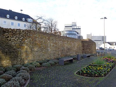 10 m
Street Names
An der Römermauer
No picture
20 m
Burial Mounds
Spätrömische Körpergräber
 30 m
Town Fortifications
Römisches Kastell - Turm D
40 m
Town Fortifications
Römisches Kastell - Westfront
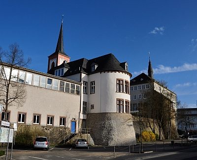 40 m
Town Fortifications
Römisches Kastell - Turm E
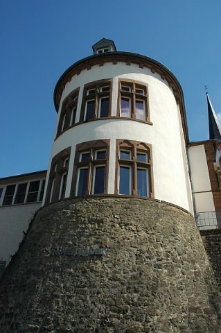 50 m
Rectories
Altes Pfarrhaus
 60 m
Find Sites
Gräber aus der Merowingerzeit
 60 m
Field Names