Settlements · Celtic / Roman Period
Römische Siedlungsspuren

Classification
- Subject area
- Archaeological Monuments
- Category
- Settlements
- Object type
- Settlements
- Date
- Circa 500 vor Chr. bis circa 500 nach Chr.
- Period
- Celtic / Roman Period
Location
- District
- Eifelkreis Bitburg-Prüm
- Collective municipality
- Verbandsfreie Gemeinde Bitburg
- Town
- Bitburg
- Street
- Kölner Straße
- Field name
- Ortslage
- Coordinates
- WGS 84: 49.978819, 6.526662 (Position: presumed) WGS 84: 49° 58′ 43.7″ N, 6° 31′ 36.0″ E UTM 32 (ETRS89): E 322675 · N 5539208
Sources
Data sources
- M. Frey / K.-J. Gilles / M. Thiel: Das römische Bitburg. Schriftenreihe des Rheinischen Landesmuseums Trier 9 (Trier 1995) Online-Shop: www.landesmuseum-trier-shop.de
On the internet
Picture credits
- Picture 1: © Lothar Monshausen, Fotostream http://www.flickr.com/photos/lomo56/tags/meteorite/
Last edited: 28 Jul 2009 Object ID: 17369
https://kulturdb.de/en/objekt/17369-bitburg-roemische-siedlungsspuren
Nearby
The nearest objects
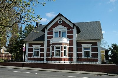 60 m
Town Houses and Commercial Buildings
Sogenannte Villa Dressel
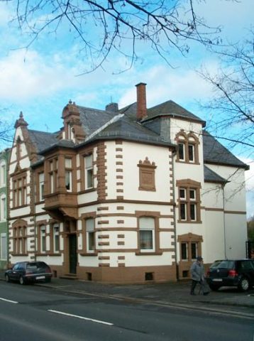 140 m
Town Houses and Commercial Buildings
Wohnhaus
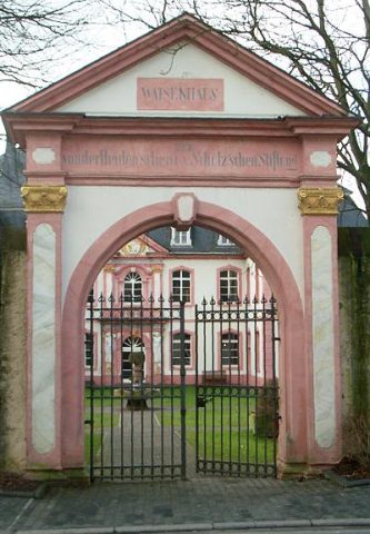 150 m
Manorial Residences and Estate Buildings
Sogenanntes Schlösschen
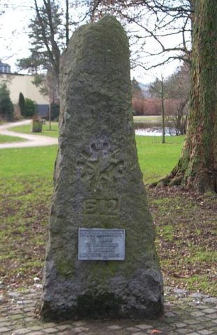 210 m
Monuments
Gedenkstein im Waisenhauspark
 230 m
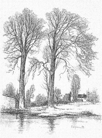
Poplars
Schwarzpappeln im Waisenhauspark
 290 m
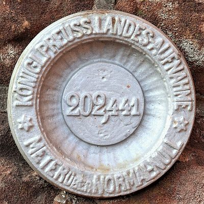
Surveying
Nivellements-Nummernbolzen
 330 m
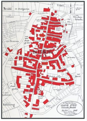
Field Names
Urbet
330 m
Field Names