Settlements · Celtic / Roman Period
Römische Siedlungsspuren

Classification
- Subject area
- Archaeological Monuments
- Category
- Settlements
- Object type
- Settlements
- Date
- Circa 500 vor Chr. bis circa 500 nach Chr.
- Period
- Celtic / Roman Period
Location
- District
- Eifelkreis Bitburg-Prüm
- Collective municipality
- Verbandsfreie Gemeinde Bitburg
- Town
- Bitburg
- Street
- Borenweg
- Field name
- Ortslage
- Coordinates
- WGS 84: 49.971809, 6.524132 (Position: presumed) WGS 84: 49° 58′ 18.5″ N, 6° 31′ 26.9″ E UTM 32 (ETRS89): E 322468 · N 5538434
Sources
Data sources
- M. Frey / K.-J. Gilles / M. Thiel: Das römische Bitburg. Schriftenreihe des Rheinischen Landesmuseums Trier 9 (Trier 1995) Online-Shop: www.landesmuseum-trier-shop.de
On the internet
Picture credits
- Picture 1: © Lothar Monshausen, Fotostream http://www.flickr.com/photos/lomo56/tags/meteorite/
Last edited: 28 Jul 2009 Object ID: 17370
https://kulturdb.de/en/objekt/17370-bitburg-roemische-siedlungsspuren
Nearby
The nearest objects
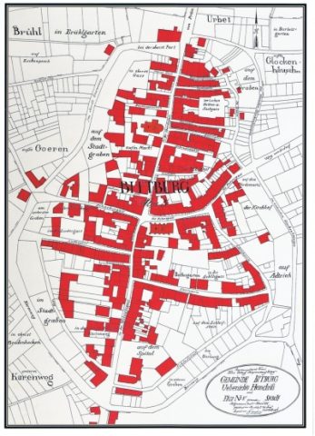 50 m
Field Names
Im unteren Graben
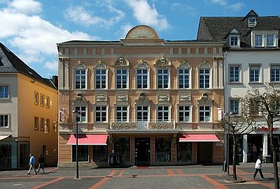 50 m
Catering, Inns and Hotels
Ehemaliges Hotel zur Post
60 m
Field Names
Auf dem Spital
No picture
80 m
Burial Mounds
Römische Brandgräber
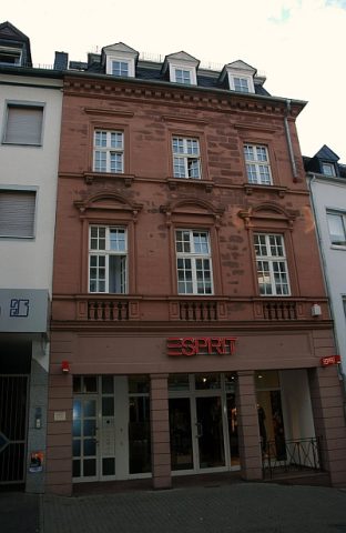 100 m
Town Houses and Commercial Buildings
Fassade
100 m
Field Names
In der unterst Gass am Karrenweg
100 m
Field Names
Am Bornweg
120 m
Field Names