Settlements · Celtic / Roman Period
Römische Siedlung

Description
This description is only available in German.
Translate with Google opens this page in Google Translate (external service)
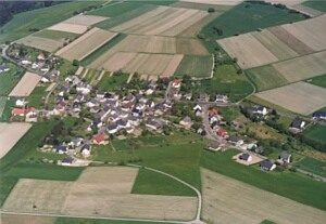
Aus römischen Bauresten lässt sich schließen, dass bereits zur Römerzeit Einzelgehöfte hier gestanden haben.
Classification
- Subject area
- Archaeological Monuments
- Category
- Settlements
- Object type
- Settlements
- Date
- Circa 500 vor Chr. bis circa 500 nach Chr.
- Period
- Celtic / Roman Period
Location
- District
- Trier-Saarburg
- Collective municipality
- Ruwer
- Municipality
- Bonerath
- Field name
- Ortslage
- Coordinates
- WGS 84: 49.690202, 6.758792 (Position: within the village) WGS 84: 49° 41′ 24.7″ N, 6° 45′ 31.7″ E UTM 32 (ETRS89): E 338356 · N 5506598
Sources
Data sources
- Homepage der Verbandsgemeinde Ruwer
On the internet
Picture credits
- Picture 1: Luftbild: H-S-W. http://home.t-online.de/home/vgruwer/
Last edited: 27 Jan 2003 Object ID: 1739
https://kulturdb.de/en/objekt/1739-bonerath-roemische-siedlung
Nearby
The nearest objects
 less than 10 m
Place Names / Local History
Erste Erwähnung als Bonrode
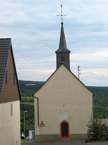 60 m
Catholic Churches
Sankt Arnulf und Sankt Margarethe
No picture
90 m
Field Names
Werkstücker
No picture
130 m
Field Names
Bornwies
No picture
170 m
Field Names
1. Bornahnung
No picture
300 m
Field Names
2. Bornahnung
No picture
430 m
Field Names
Wolfskaul
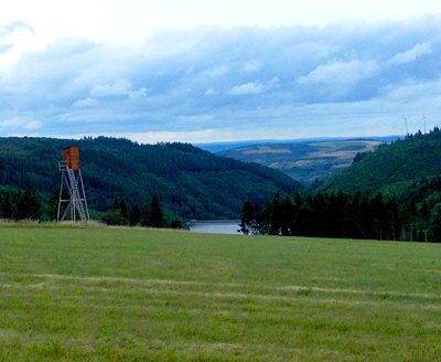 430 m
Viewpoints