Administrative Buildings · Renaissance
Ehemaliges Amts- und Kellnereigebäude


© GeoBasis-DE / LVermGeoRP, dl-de/by-2-0
There is no picture of this object yet. Do you have a photo that you would like to make available to the Kulturdatenbank? Submit a picture
Description
This description is only available in German.
Translate with Google opens this page in Google Translate (external service)
Ehemaliges kurfürstliches Amts- und Kellnereigebäude. Am Fuße des Burgbergs nahe der Mosel. Errichtet 1656-61. Heute Weinbauschule. [1]
Classification
- Subject area
- Architectural and Art Monuments
- Category
- Administrative Buildings
- Date
- 1656
- Period
- Renaissance
Location
- District
- Bernkastel-Wittlich
- Town
- Bernkastel-Kues
- Locality / location
- Bernkastel
- Street
- Karlstraße 9 A
- Field name
- Ortslage
- Coordinates
- WGS 84: 49.914785, 7.075759 (Position: exact) WGS 84: 49° 54′ 53.2″ N, 7° 04′ 32.7″ E UTM 32 (ETRS89): E 361856 · N 5530931
Sources
Data sources
- [1] Georg Dehio: Handbuch der deutschen Kunstdenkmäler: Rheinland-Pfalz, Saarland, 1984. Deutscher Kunstverlag
On the internet
Last edited: 6 Aug 2008 Object ID: 174
https://kulturdb.de/en/objekt/174-bernkastel-kues-ehemaliges-amts-und-kellnereigebaeude
Nearby
The nearest objects
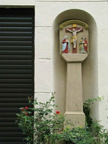 less than 10 m
Wayside Shrines and Stations of the Cross
Kreuzigungsbildstock
 20 m
Monastic Complexes
Kapuziner Kloster
Town Houses and Commercial Buildings
Wohnhaus
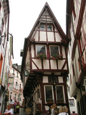 50 m
Town Houses and Commercial Buildings
Sogenanntes Spitzhaus
Town Houses and Commercial Buildings
Wohnhaus
Catering, Inns and Hotels
Gasthaus Zur Badstube
Town Houses and Commercial Buildings
Vierachsiger Putzbau
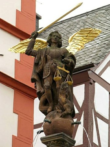 70 m
Works of Art