Settlements · Celtic / Roman Period
Römische Siedlungsreste

Description
This description is only available in German.
Translate with Google opens this page in Google Translate (external service)
Siedlungsreste wurden in Hinzenburg gefunden.
Classification
- Subject area
- Archaeological Monuments
- Category
- Settlements
- Object type
- Settlements
- Date
- Circa 500 vor Chr. bis circa 500 nach Chr.
- Period
- Celtic / Roman Period
Location
- District
- Trier-Saarburg
- Collective municipality
- Ruwer
- Municipality
- Hinzenburg
- Field name
- Ortslage
- Coordinates
- WGS 84: 49.664338, 6.726156 (Position: within the village) WGS 84: 49° 39′ 51.6″ N, 6° 43′ 34.2″ E UTM 32 (ETRS89): E 335915 · N 5503794
Sources
Data sources
- Homepage der Verbandsgemeinde Ruwer
On the internet
Picture credits
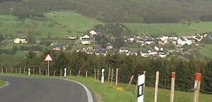
- Picture 1: Luftbild: H-S-W. http://home.t-online.de/home/vgruwer/
Last edited: 30 Jul 2000 Object ID: 1749
https://kulturdb.de/en/objekt/1749-hinzenburg-roemische-siedlungsreste
Nearby
The nearest objects
 less than 10 m
Place Names / Local History
Ortsgeschichte Hinzenburg
 40 m
Coats of Arms
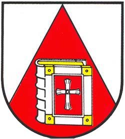
Wappen der Gemeinde Hinzenburg
 60 m
Catholic Churches
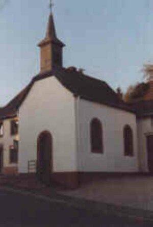
Heilige Magdalena
No picture
140 m
Field Names
Ratherhaus
No picture
140 m
Field Names
Bornwiese
No picture
170 m
Field Names
Kahlenborn
No picture
200 m
Field Names
Bei Rathkopf
No picture
230 m
Field Names